What is recorded here
On the break of a N-facing slope in upland, mountainous terrain, formerly rough pasture. It is completely surrounded by coniferous forest, with grass and rushes growing on the monument. View dominated by Mother Mountain to the N, impeded by coniferous forestry to the E and S and blocked by rising slope to W. Identified as a roughly circular enclosure on Digital Globe aerial imagery taken 2011-13 and earlier OSi orthophotos.
A circular enclosure defined by a broad earthen bank (overall Wth 8.4m; Wth at crest 3m; int. H 0.95m; ext. H 0.81m), there is a suggestion of an external fosse but this is likely to be a visual trick where the forest encroaches up to the base of the monument, creating a buffer zone, c. 5m wide, with rushes growing in it. There is a fairly steep slope to the exterior and a gentle slope to the interior which is slightly dished in profile, with rushes growing in the interior, suggesting it is prone to being waterlogged. The monument is very well defined from W to S and E, and slightly less so to the N. In the NW sector there is a stone pair (TN038-023001-) on the crest of the bank. There is a raised trackway running across the monument from WNW to ESE.
Compiled by: Jean Farrelly
A Bronze Age embanked barrow; likely a funerary monument. Its location on a prominent slope overlooking "Mother Mountain" suggests ritual or symbolic significance related to landscape and ancestry.
The monument record does not grant public access. Check the route and ask the landowner before entering private land.
- What survives
- Recorded monument
Places near here
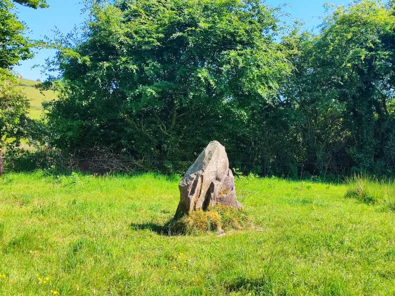
 Dermot & Granias Bed (Site of)Megalithic structure · 995 yd
 Enclosure in CoonmoreEnclosure · 1007 yd
 Gowlagh Bridgebridge · 1.2 mi
 Rear National Schoolschool · 1.3 mi
 MauherslieveMountain / peak · 1.9 mi
 Slieve Felim East TopMountain / peak · 3.3 mi
 Ballyhourigan WoodsForest · 6.0 mi
 Tower (in Ruins)Bawn · 6.6 mi
 Castle WellerCastle · 6.6 mi
 Sliev Felim WayVisitor information · 8.4 mi
 Killavalla WoodForest · 9.5 mi
 Graveyard in AbingtonGraveyard · 9.6 mi