What is recorded here
In grassland. Cropmark of ditch-barrow (diam. c. 7m) visible on Google Earth orthophoto taken 18/11/2018.
See attached Google Earth orthoimages
Compiled by: Caimin O’Brien
Date of upload: 9 December 2021
Ditch barrow, likely dating to the Early Bronze Age. Its presence indicates prehistoric burial practices in the area, though its wider significance remains unexplored due to limited documentation.
The monument record does not grant public access. Check the route and ask the landowner before entering private land.
- What survives
- Recorded monument
Places near here
 Rathcoonagh, HachuredFairy fort / earthen ringfort · 600 yd
 Field system in Killeen (coshlea By., Ballylanders Ed)Field system · 947 yd
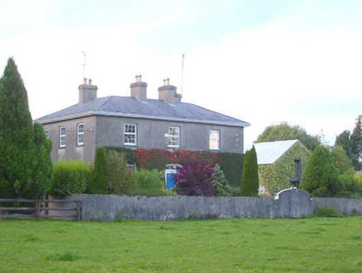 rectory/glebe/vicarage/curate's houserectory/glebe/vicarage/curate's house · 1488 yd
 Church (in ruins)Church · 1601 yd
 Duntryleague - hachuredCastle, ringwork · 1.0 mi
 Duntryleague HillMountain / peak · 1.4 mi
 Darby's Bed Walk LoopWalking route · 1.4 mi
 Site of Castle, Castle FieldCastle, unclassified · 1.7 mi
 Saint Patrick's WellSpring · 2.5 mi
 SlievereaghMountain / peak · 2.9 mi
 Carn (site of)Cairn, burial cairn · 3.3 mi
 Edmund's WellSpring · 3.5 mi