What is recorded here
In improved, undulating pasture, on a naturally elevated area defined by drainage water channels. Identified during field survey by Alison McQueen and Vera Rahilly (2 February 2009). A farm trackway is depicted on the 2nd (1906) ed. OS 6-inch map c. 13m to the E. Ring-barrows (TS066-190003- and TS066-190001-) are located c. 6m to the SSE and c. 8m to the SSW respectively and an enclosure (TS066-055----) is located c. 85m to SW. A circular area (dims. 6m N-S; 6.5m E-W) defined by a fosse (Wth 2.75m; D 0.15m) which is less defined in the W quadrant (Wth 2.5m; D 0.1m). The interior is grass covered.
Compiled by: Jean Farrelly
Date of revised upload: 9 September 2014
A ditch barrow, likely dating to the Early Bronze Age; its presence indicates a tradition of burial and ceremonial activity in the landscape. The association with a naturally elevated area suggests a possible ritual or symbolic significance in its location.
The monument record does not grant public access. Check the route and ask the landowner before entering private land.
- What survives
- Recorded monument
Places near here
 Enclosure in Shronell (bruis Par.)Enclosure · 232 yd
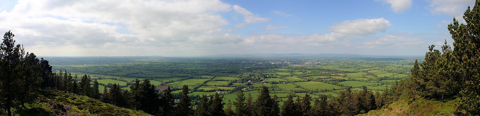 RathfaunEnclosure · 331 yd
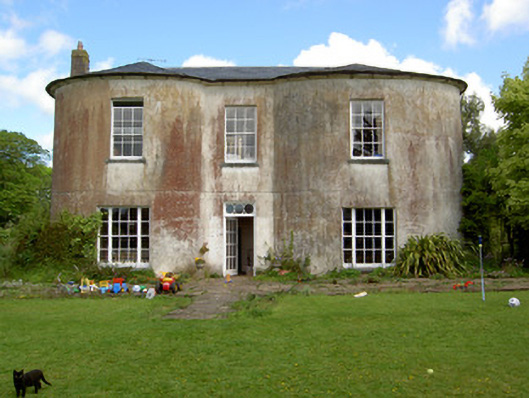 Shronell Househouse · 874 yd
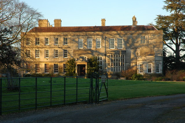 Damerville Courts (in Ruins)House, 18th/19th century · 1039 yd
 CastleCastle, ringwork · 1732 yd
 MoatCastle, motte · 1741 yd
 SlievenamuckMountain / peak · 2.6 mi
 Bansha ForestForest · 3.0 mi
 Glen of AherlowViewpoint · 4.0 mi
 Christ the KingViewpoint · 4.0 mi
 The RockViewpoint · 4.1 mi
 Oola HillMountain / peak · 4.5 mi