What is recorded here
In improved, undulating pasture, on a naturally elevated area defined by drained water channels. Identified during field survey by Alison McQueen and Vera Rahilly (2 February 2009). A farm trackway is depicted on the 2nd (1906) ed. OS 6-inch map c. 13m to the E. Ditch barrows (TS066-190001- and TS066-190002-) are located c. 4m to the WSW and c. 6m to the NNW respectively and an enclosure (TS066-055----) is located c. 60m to the SW. A circular area (dims. 2.9m N-S; 2.75m E-W) defined by a fosse (Wth 1.5m; D 0.1m). The interior is grass covered.
Compiled by: Jean Farrelly
Date of revised upload: 9 September 2014
A ditch barrow, likely dating to the Early Bronze Age. Its presence indicates early ceremonial or funerary activity in the Shronell area.
The monument record does not grant public access. Check the route and ask the landowner before entering private land.
- What survives
- Recorded monument
Places near here
 Enclosure in Shronell (bruis Par.)Enclosure · 243 yd
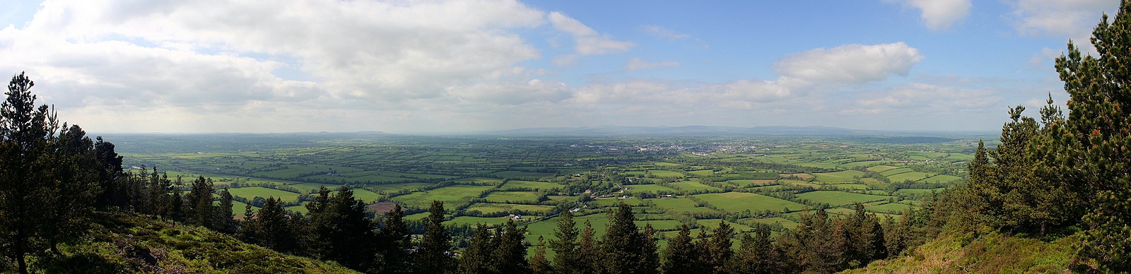 RathfaunEnclosure · 320 yd
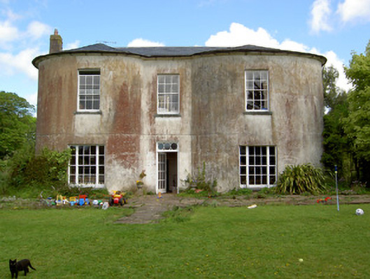 Shronell Househouse · 890 yd
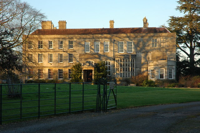 Damerville Courts (in Ruins)House, 18th/19th century · 1054 yd
 MoatCastle, motte · 1727 yd
 CastleCastle, ringwork · 1736 yd
 SlievenamuckMountain / peak · 2.6 mi
 Bansha ForestForest · 3.0 mi
 Glen of AherlowViewpoint · 4.0 mi
 Christ the KingViewpoint · 4.0 mi
 The RockViewpoint · 4.1 mi
 Oola HillMountain / peak · 4.5 mi