What is recorded here
Half a metre deep, the ditch curves like a broken bowl at the foot of a SW-facing slope, its ancient silt still holding charcoal and tiny faience beads. People may have gathered there to mark a life, lose a thing, or simply sit beside the water that runs sixty metres south. The road builders opened the earth in 2004, and the barrow gave up no skeleton, no mound, no final answer. It keeps its shape, waits at the bottom of the hill, and lets the stream carry what it will.
Situated towards the bottom of a SW-facing slope with a canalised W-E stream c. 60m to the S. Archaeological excavation (03E1214) by H. Schweitzer between March and October 2004 in advance of the northern section of the N2 by-pass around Ashbourne on site 27 involved the complete excavation of six areas numbered from the S. Features recorded in Area 2 included a kiln (ME039-012001-) but the principal feature is this ditch-barrow. (Schweitzer 2009, 14)
This is a subcircular area (int. dims 3.4-3.9m; ext. dims 4.8-5.1m) defined by a U-shaped ditch (Wth of top 0.5-0.65m; average D 0.5m) with two principal deposits. The primary silt layer had a seam of charcoal which contained fragments of faience beads (O’Carroll et al. 2012, 228-32), and samples of the charcoal produced C14 dates of 900-825 Cal. BC and 740-360 Cal. BC. The former date, from a piece of oak, could represent ‘old wood’, and the latter date is a more realistic determination. One flint flake was recovered from the upper fill. There is no evidence of a mound or outer bank, or even of a burial. (Schweitzer 2009, 37-8)
Compiled by: Michael Moore
Date of upload: 3 March 2021
O'Carroll, F., Sheridan, A. and K. Eremin 2012 Rath, Co. Meath: of beads and burials. in Corlett, C. and Potterton, M. (eds) Life and Death in in Iron Age Ireland in the light of recent archaeological discoveries, 223-32, Dublin, Wordwell
Ditch barrow, likely dating to the Early Bronze Age. Its excavation provided insights into burial practices and landscape use in the region during the prehistoric period.
The monument record does not grant public access. Check the route and ask the landowner before entering private land.
- What survives
- Recorded monument
Places near here
 Enclosure in Rath (ratoath By., Cookstown Par.)Enclosure · 516 yd
 Enclosure in Cookstown (ratoath By., Cookstown Par.)Enclosure · 1052 yd
 Church (in Ruins)Church · 1681 yd
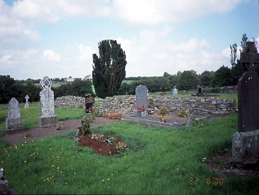 graveyard/cemeterygraveyard/cemetery · 1715 yd
 Bawn in KilleglandBawn · 1.2 mi
 CastleCastle, unclassified · 1.2 mi
 Cornstown HouseHeritage attraction · 1.6 mi
 Emerald ParkHeritage attraction · 2.2 mi
 Newtown HillMountain / peak · 2.2 mi
 Lemur WoodWood · 2.3 mi
 AshbourneMemorial · 2.4 mi
 Newtown GorseWood · 2.7 mi