What is recorded here
In pasture, a cremation pit (LI049-036----) and earthwork (LI049-035----) lie 90m to the NW and 105m to the W respectively. Not marked on OSi 6-inch maps. Ditch-barrow (site TR/2/18/2) identified alongside parallel and concentric ditches, hearth, pits and possible kiln(LI049-037001-) on Bórd Gáis Éireann Curraleigh West-Limerick gas pipeline (Gowen 1988, 84-94). Excavated by Claire Walsh the results of which were summarised as following; 'Features revealed on this site stretched right across the stripped portion of the corridor. Excavation was carried out after grading had taken place, but it was clear during excavation that the features were truncated, prior to grading. The ring-barrow ditch had external dimensions of 4.45-4.80m in diameter with an internal diameter of 3.20-3.64m. No finds were recovered from the fill, nor were there any surviving features or archaeological deposits in the interior. The field bank and drain which crossed the site also cut across its north-western half’ (Walsh 1987, 27-8).
Compiled by: Fiona Rooney
Date of upload: 15 September 2021
Ditch barrow, likely dating to the Early Bronze Age. Its association with cremation and earthworks suggests a funerary and ceremonial significance in a local landscape of burial and ritual activity.
The monument record does not grant public access. Check the route and ask the landowner before entering private land.
- What survives
- Recorded monument
Places near here
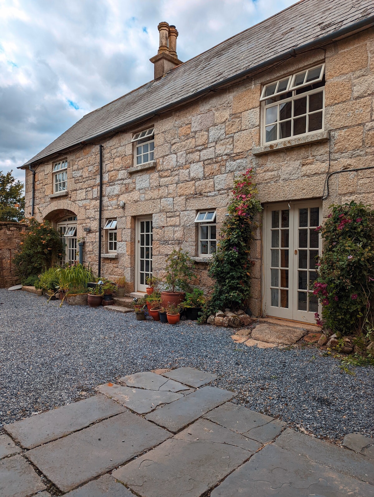 BarrowBarrow, ditch barrow · 171 yd
 Aughavoona Househouse · 371 yd
 Field system in Mitchelstowndown EastField system · 640 yd
 presbytery/parochial/curate's housepresbytery/parochial/curate's house · 772 yd
 Saint Patrick's WellSpring · 933 yd
 Ryves CastleCastle, unclassified · 1590 yd
 Duntryleague - hachuredCastle, ringwork · 1.3 mi
 Edmund's WellSpring · 1.8 mi
 Carn (site of)Cairn, burial cairn · 2.2 mi
 SlievereaghMountain / peak · 2.5 mi
 Ballinvreena LoopVisitor information · 3.0 mi
 Palatine's RockNamed rock · 4.6 mi