What is recorded here
Ten metres of forgotten ditch still hold their shape beneath Kildare grass, waiting for rain to reveal the hand that dug them. A larger half-circle looms west of the main mound, perhaps nature rather than people, yet the boundary between human making and earth drifting remains uncertain. The land keeps both possibilities alive, shifting between memory and illusion as the seasons change.
In grassland, with adjoining ditch-barrow (KD029-060----) to NE. Cropmark of circular-shaped area (approx. diam. 10m) defined by a ditch visible on Google Earth orthoimage taken 25/03/2020. Cropmark of large semi-circular shaped feature to W visible on Google Earth photo of unknown significance. May be the remains of a geomorphological feature rather than the remains of an archaeological feature.
See attached Google Earth orthoimages
Compiled by: Caimin O'Brien based on details kindly provided by Seán Sourke.
Date of upload: 16 October 2020
Ditch barrow, likely dating to the Early Bronze Age. Its significance lies in its association with other barrows in the area, suggesting a wider ritual or burial landscape.
The monument record does not grant public access. Check the route and ask the landowner before entering private land.
- What survives
- Recorded monument
Places near here
 Enclosure in Ardinode EastEnclosure · 557 yd
 IndicatedEnclosure · 688 yd
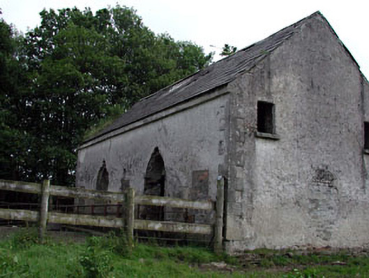 Mountcashel Lodgecountry house · 830 yd
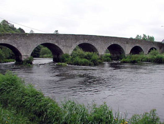 Ballymore Bridgebridge · 952 yd
 English hollyEnglish holly · 1.3 mi
 CastleCastle, unclassified · 1.5 mi
 Castle in ruinsCastle, unclassified · 1.6 mi
 Sillagh Bog WoodForest · 2.4 mi
 National Bird of Prey CentreHeritage attraction · 2.5 mi
 Artisans WorkshopsHeritage attraction · 2.6 mi
 Saint Kevin's CaveMemorial · 2.9 mi
 Burial ground in CrehelpBurial ground · 3.7 mi