What is recorded here
In grassland, with adjoining ditch-barrow (KD029-060----) to NE. Cropmark of circular-shaped area (approx. diam. 10m) defined by a ditch visible on Google Earth orthoimage taken 25/03/2020. Cropmark of large semi-circular shaped feature to W visible on Google Earth photo of unknown significance. May be the remains of a geomorphological feature rather than the remains of an archaeological feature.
See attached Google Earth orthoimages
Compiled by: Caimin O'Brien based on details kindly provided by Seán Sourke.
Date of upload: 16 October 2020
Ditch barrow, likely dating to the Early Bronze Age. Its significance lies in its association with other barrows in the area, suggesting a wider ritual or burial landscape.
The monument record does not grant public access. Check the route and ask the landowner before entering private land.
- What survives
- Recorded monument
Places near here
 Enclosure in Ardinode EastEnclosure · 557 yd
 IndicatedEnclosure · 688 yd
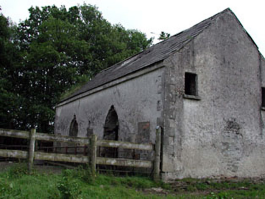 Mountcashel Lodgecountry house · 830 yd
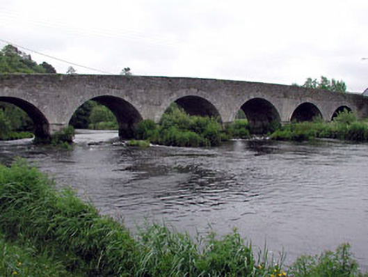 Ballymore Bridgebridge · 952 yd
 English hollyEnglish holly · 1.3 mi
 CastleCastle, unclassified · 1.5 mi
 Castle in ruinsCastle, unclassified · 1.6 mi
 Sillagh Bog WoodForest · 2.4 mi
 National Bird of Prey CentreHeritage attraction · 2.5 mi
 Artisans WorkshopsHeritage attraction · 2.6 mi
 Saint Kevin's CaveMemorial · 2.9 mi
 Burial ground in CrehelpBurial ground · 3.7 mi