What is recorded here
Barrow is a barrow (ditch barrow) in Longstone (Kilcornan parish), County Tipperary, Ireland. It occupies the level summit of a prominent hill with panoramic views in all directions, at the west-southwest side of an enclosure containing a multi-period complex. The circular slightly raised area measures 2.4 metres across and is defined by a gently sloping earthen scarped edge 0.6 metres wide and 0.4 metres high, with an external narrow flat-bottomed fosse 1.15 metres wide overall, 0.75 metres wide at the base and 0.3 metres deep. A causeway 1 metre wide across the fosse at the southeast marks the position of the original entrance, while the interior remains dry and clear of overgrowth.
On top of the level summit of a prominent hill with panoramic views in all directions, at the WSW side of an enclosure (TS058-023002-) containing a multi-period complex. A second ditch-barrow (TS058-023007-) is located 4m to the SE and a ring-barrow (TS058-023006-) is 8m to the ESE. A bowl-barrow (TS058-023003-) and a standing stone (TS058-023004-) are located 4m to the ENE. A standing stone (TS058-079----) is visible 800m to the NE; a large barrow 1.5km to the WSW and a mound-barrow (TS058-047----) 1.8km to the S. The enclosing elements are in good condition with crisp breaks of slope and no livestock damage. The ditch-barrow consists of a circular slightly raised area (diam. 2.4m) defined by a gently sloping earthen scarped edge (Wth 0.6m; H 0.4m) with an external narrow flat-bottomed fosse (overall Wth 1.15m; Wth at base 0.75 m; D 0.3m). The scarped edge and fosse enclose the barrow on all sides and have a consistent gently sloping profile. A causeway (Wth. 1m) across the fosse at SE marks the position of the original entrance. The interior is dry and clear of overgrowth.
Compiled by: Jean Farrelly
Date of upload: 26 August 2011
Ditch barrow, likely dating to the Early Bronze Age, associated with a multi-period landscape of ritual and funerary significance. Its location on a prominent hilltop suggests ceremonial or territorial importance.
The monument record does not grant public access. Check the route and ask the landowner before entering private land.
- What survives
- Recorded monument
Places near here
 Enclosure in Longstone (kilcornan Par.)Enclosure · 663 yd
 Site of Castle LoaghnyCastle, unclassified · 688 yd
 Enclosure in Longstone (cullen Par.)Enclosure · 740 yd
 Kilcornan Church (in Ruins)Church · 1161 yd
 RathardCastle, ringwork · 1558 yd
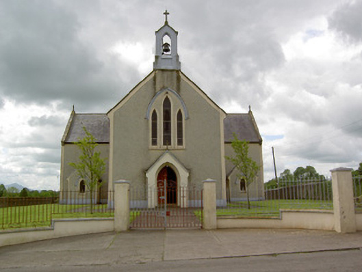 Saint Patrick's Catholic Churchchurch/chapel · 1583 yd
 Oola HillMountain / peak · 2.5 mi
 Kilteely HillMountain / peak · 4.5 mi
 St. Patrick's WellSpring · 4.5 mi
 St Patrick's WellSpring · 7.0 mi
 Flat cemetery in Knockainy WestFlat cemetery · 7.0 mi
 Ballinvreena LoopVisitor information · 9.9 mi