What is recorded here
In reclaimed pasture, one of fourteen barrows (LI041-032001/014-), N of a barrow cemetery (LI049-072001/026-; LI041-033----), an enclosure (LI041-031----) lies c. 110m to the W. Not marked on OSi historic maps. Identified by Ó Ríordáin (1936, 175) as one of a cluster of barrows surveyed in the area in 1936, 20m N of a post-1700 field boundary. Monument visible as a circular cropmark (diam. c. 6m) on Digital Globe orthoimage taken between 2011-13 and on the Google Earth orthoimage dated 14/09/2019.
See attached plan of survey from Ó Ríordáin (1936).
Compiled by: Fiona Rooney
Date of upload: 15 July 2021
Ditch barrow, likely dating to the Early Bronze Age, associated with a barrow cemetery and enclosure. Its presence indicates a significant prehistoric funerary and ritual landscape in the Lissard area.
The monument record does not grant public access. Check the route and ask the landowner before entering private land.
- What survives
- Recorded monument
Places near here
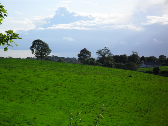 BarrowBarrow, ditch barrow · 525 yd
 Partially indicatedFulacht fia · 536 yd
 Partially hachuredQuarry · 1138 yd
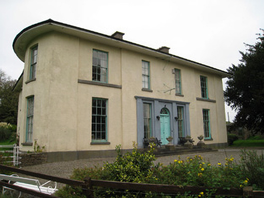 Glenefyhouse · 1217 yd
 Darby's Bed Walk LoopWalking route · 1268 yd
 Duntryleague HillMountain / peak · 1317 yd
 Duntryleague - hachuredCastle, ringwork · 1.0 mi
 Carn (site of)Cairn, burial cairn · 1.5 mi
 Ryves CastleCastle, unclassified · 1.7 mi
 Saint Patrick's WellSpring · 2.2 mi
 St Patrick's WellSpring · 3.2 mi
 SlievereaghMountain / peak · 4.0 mi