What is recorded here
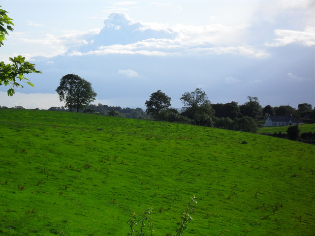
In reclaimed pasture, one of fourteen barrows (LI041-032001/014-), N of a barrow cemetery (LI049-072001/026-; LI041-033----), an enclosure (LI041-031----) lies c. 80m to the W. Not marked on OSi historic maps. Identified in 1936 by Ó Ríordáin (1936, 175) as one of a cluster of barrows surveyed in the area, 20m N of a post-1700 field boundary. Monument clearly visible as a circular cropmark (diam. c. 7m) the Google Earth orthoimage dated 18/11/2018. No surface remains visible on Digital Globe orthoimage taken between 2011-13.
See attached plan of survey from Ó Ríordáin (1936) and Google Earth orthoimages.
Compiled by: Fiona Rooney
Date of upload: 15 July 2021
A Neolithic ditch barrow; part of a barrow cemetery, indicating early communal burial practices and social organisation in the region.
The monument record does not grant public access. Check the route and ask the landowner before entering private land.
- What survives
- Recorded monument
Places near here
 BarrowBarrow, ditch barrow · 487 yd
 Partially indicatedFulacht fia · 572 yd
 Partially hachuredQuarry · 1114 yd
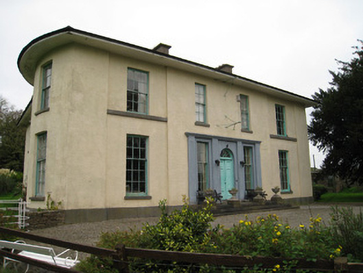 Glenefyhouse · 1246 yd
 Darby's Bed Walk LoopWalking route · 1271 yd
 Duntryleague HillMountain / peak · 1320 yd
 Duntryleague - hachuredCastle, ringwork · 1.0 mi
 Carn (site of)Cairn, burial cairn · 1.5 mi
 Ryves CastleCastle, unclassified · 1.7 mi
 Saint Patrick's WellSpring · 2.2 mi
 St Patrick's WellSpring · 3.2 mi
 SlievereaghMountain / peak · 4.0 mi