What is recorded here
On reclaimed pasture depicted as a marshy area on the 1840 ed. OS 6-inch map with stepped barrow (LI016-013----) 140m to S. Outline of possible ditch-barrow visible on Google Earth orthoimage taken 05/05/2000. Visible as a pond feature on later orthoimages including Google Earth orthophoto taken 18/11/2018.
See attached Google Earth orthoimages
Compiled by: Caimin O'Brien based on details provided by Alison McQueen and Vera O'Rahilly
Date of upload: 17 September 2020
Ditch barrow, likely dating to the Early Bronze Age. Its presence indicates a significant prehistoric burial or ceremonial landscape in the Lisgaugh area.
The monument record does not grant public access. Check the route and ask the landowner before entering private land.
- What survives
- Recorded monument
Places near here
 BarrowBarrow, stepped barrow · 183 yd
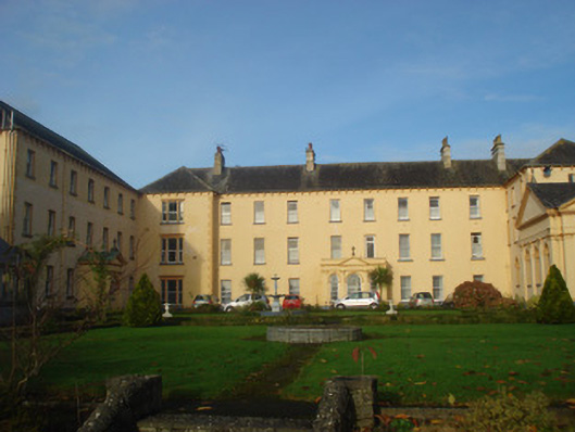 Convent of Mercyconvent/nunnery, country house · 733 yd
 Church (Site of)Church · 742 yd
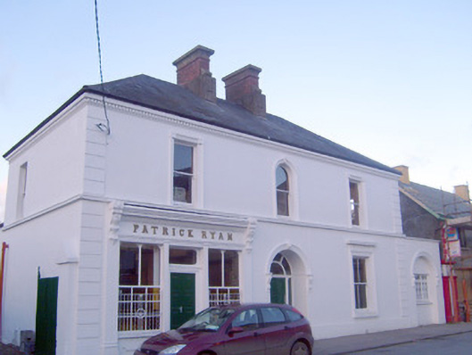 Patrick Ryanhouse · 773 yd
 Coonagh CastleCastle · 1.5 mi
 GortnageraghMountain / peak · 1.9 mi
 Site of CastleCastle, unclassified · 2.3 mi
 Green Field ParkWood · 4.3 mi
 ToberagaddySpring · 4.5 mi
 Oola HillMountain / peak · 4.9 mi
 Slieve Felim WayWalking route · 6.0 mi
 Graveyard in AbingtonGraveyard · 8.0 mi