What is recorded here
On a knoll at the foot of an E-facing slope, overlooking a small, N-S valley to the E. Visible on an aerial photograph (DoD 1999). A slightly raised, sub circular area (diams. 9.3m N-S; 6.7m E-W) is defined by a U-shaped fosse (Wth 1.8-2.6m; D 0.3.0.5m).
Compiled by: Gearóid Conroy
Date of upload: 10 June 2011
A Neolithic ditch barrow; its raised central area and U-shaped enclosure suggest a funerary or ceremonial function, typical of early farming communities in Ireland.
The monument record does not grant public access. Check the route and ask the landowner before entering private land.
- What survives
- Recorded monument
Places near here
 Enclosure in Curragh (ballysax East Ed)Enclosure · 788 yd
 ElderElder · 805 yd
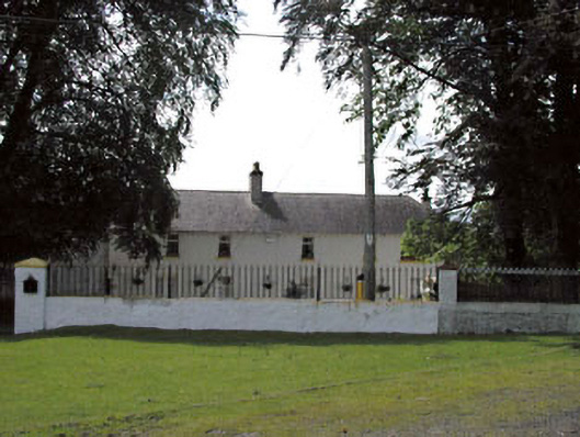 Thornton Lodgestables · 1086 yd
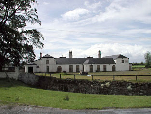 Jockey Hallhouse · 1113 yd
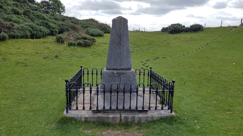 Donnelly's HollowMonument · 1228 yd
 CastleCastle, unclassified · 1.8 mi
 Newbridge SilverwareMuseum · 2.5 mi
 Castle in RuinsCastle, tower house · 2.6 mi
 Pollardstown Fen Nature ReserveNature reserve · 3.9 mi
 Saint Fiachra's GardenHeritage attraction · 4.0 mi
 Battle of Kilrushbattle · 5.8 mi
 Grand Canal WayVisitor information · 9.0 mi