What is recorded here
On a broad plateau. Circular, grass-covered and slightly domed mound (diam. of base 15.8m N-S; 14.6m E-W; diam. of top 10.5m N-S; 10.3m E-W; H 0.3-0.5m) defined by a rounded fosse (Wth of top 8.6-9m N-E to 13m at S; Wth of base 4.5.4m; D 0.2-0.3m). Two relict field banks (RO035-115002-) (Wth c. 3m; H 0.1-0.2m) placed 12m apart approach the monumnet from the N (L 14m; 44m), that on the E running outside the fosse and continuing off to the SE (L c. 30m).
Compiled by: Michael Moore
Date of upload: 24 August 2010
Ditch barrow, likely dating to the Early Bronze Age. Its construction reflects early mound-building traditions associated with funerary or ceremonial practices in the region.
The monument record does not grant public access. Check the route and ask the landowner before entering private land.
- What survives
- Recorded monument
Places near here
 Grange AbbeyChurch · 1594 yd
 IndicatedEnclosure · 1662 yd
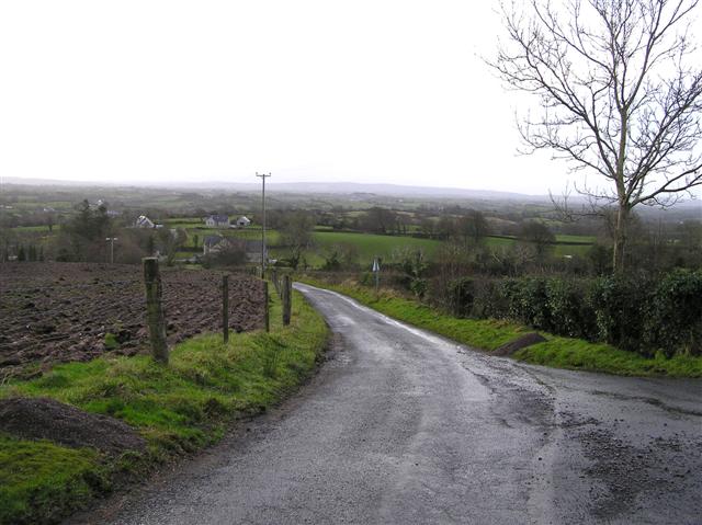 RoadRoad, road/trackway · 1.5 mi
 Enclosure in Ballyglass (roscommon By.)Enclosure · 1.6 mi
 Embanked enclosureCastle, unclassified · 2.0 mi
 Leitrim CastleCastle, unclassified · 2.3 mi
 Cruachan Aí Heritage CentreMuseum · 4.5 mi
 ToberagullaSpring · 4.7 mi
 European ashEuropean ash · 4.7 mi
 HawthornHawthorn · 5.6 mi
 Roscommon CastleCastle · 5.8 mi
 FerrinchIslet · 9.1 mi