What is recorded here
In pasture. A circular enclosure (diam. c. 10m) defined by a fosse, visible on satellite imagery (© Google Earth, imagery date 16 December 2016), identified and reported by Jean-Charles Caillère. The size of the enclosure and the presence of barrows in the general area suggests that this is a barrow. Another ditch barrow (TS058-092----) is located c. 300m to the NW.
See attached:
TS058-093----_01 Google Earth image (imagery date 16 December 2016)
Compiled by: Jean Farrelly
Date of upload: 11 January 2022
Ditch barrow, likely dating to the Early Bronze Age. Its enclosure suggests a ceremonial or funerary function, reflecting burial practices and social organization of the period.
The monument record does not grant public access. Check the route and ask the landowner before entering private land.
- What survives
- Recorded monument
Places near here
 Enclosure in Carron (solloghodbeg Par.),kyle (solloghodbeg Par.)Enclosure · 350 yd
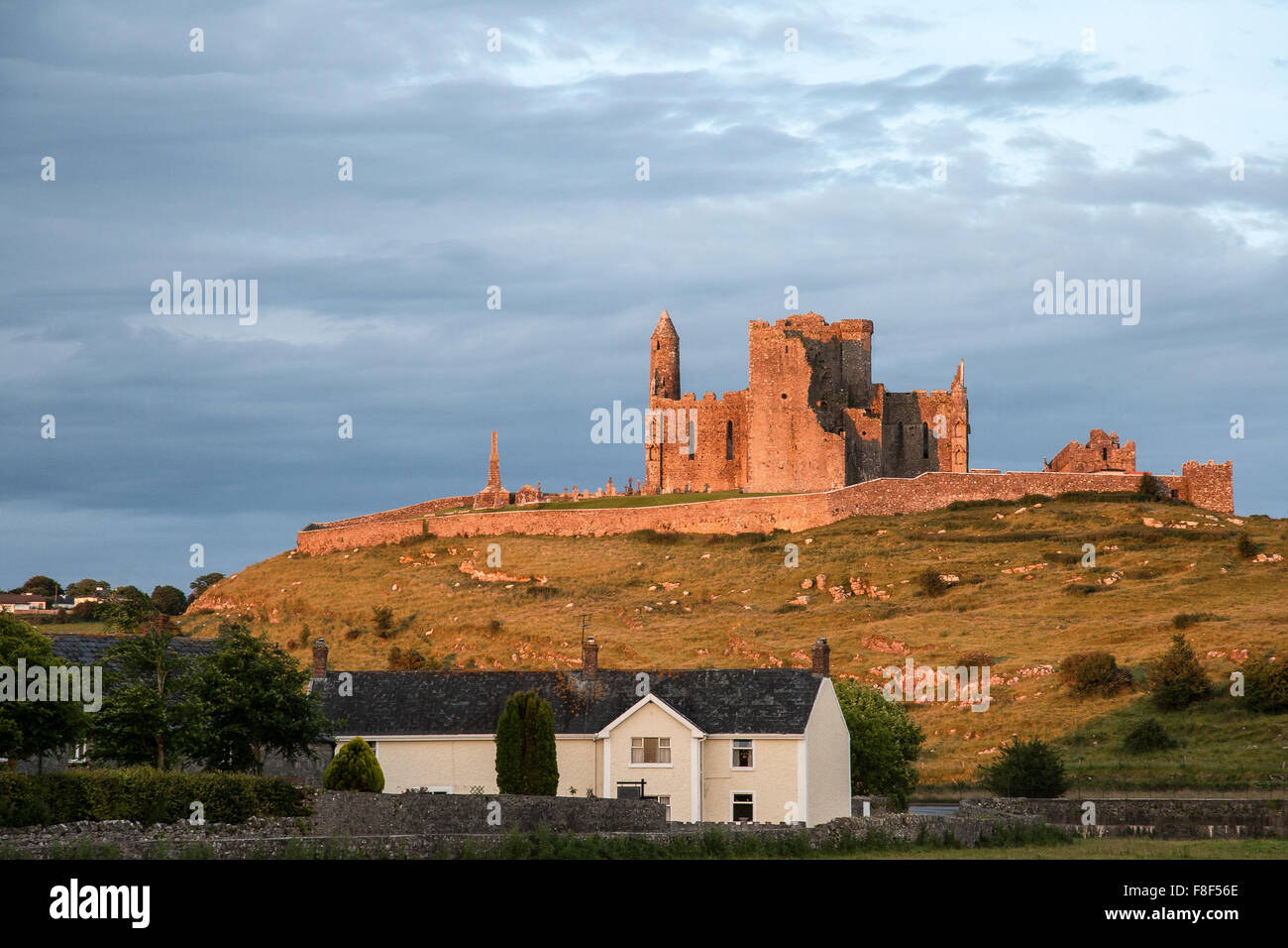 Site of Kyle ChurchChurch · 831 yd
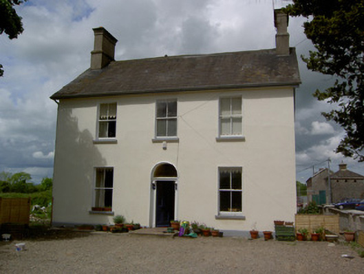 Limerick Junction Railway Stationstation master's house · 1067 yd
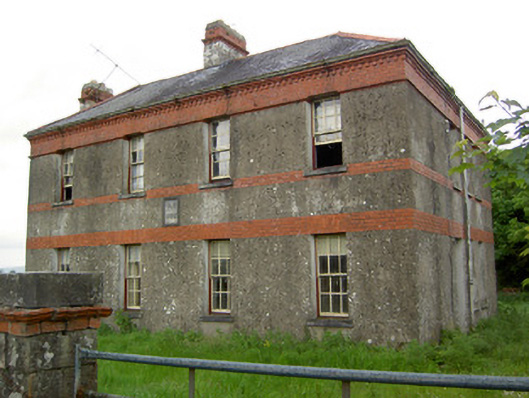 Victoria Houseoffice · 1424 yd
 Soloheadbeg Ambush SiteMemorial · 1.1 mi
 Soloheadbeg Ambushambush · 1.6 mi
 MoatCastle, motte and bailey · 1.7 mi
 Mutton Pie HillCastle, motte · 1.8 mi
 The Maid of ErinMemorial · 2.3 mi
 Oola HillMountain / peak · 3.2 mi
 European ashEuropean ash · 3.9 mi
 The RockViewpoint · 4.7 mi