
What is recorded here
Cropmark of ring-ditch (diam. c. 5m) Google Earth photograph taken 18/01/2019.
See attached Google Earth orthoimages
Compiled by: Caimin O'Brien based on details provided by Jean-Charles Caillère
Date of upload: 14 January 2022
Ditch barrow, likely dating to the Early Bronze Age. Its ring-ditch suggests a funerary or ceremonial function, typical of burial monuments from this period in the region.
The monument record does not grant public access. Check the route and ask the landowner before entering private land.
- What survives
- Recorded monument
Places near here
 26th Locklock · 828 yd
 Saint Catherine's Church (Tullamore)church/chapel · 871 yd
 Grand Canal WayWalking route · 973 yd
 Mound in Ballyduff (ballycowan By.)Mound · 1234 yd
 IndicatedFairy fort / earthen ringfort · 1.3 mi
 Bawn in BallydrohidBawn · 1.7 mi
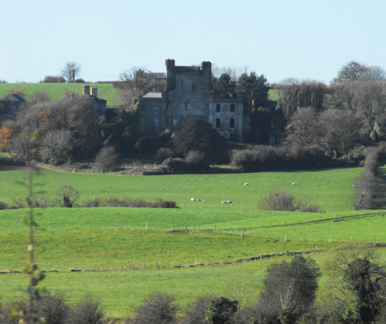
 Srah CastleRuins · 1.7 mi
 Charleville ForestWood · 2.2 mi
 Pedunculate OakPedunculate Oak · 2.3 mi
 Christ's WellSpring · 2.6 mi
 St O'Hara's HillMountain / peak · 2.7 mi
 Sugar HillMountain / peak · 3.8 mi
Other information
Photo: Credit not shown in the picture search · Rights wording not checked; contact us if this picture should be removed