
More pictures of this place


What is recorded here
The walls are only the start of this story. Architectural design and detailing is apparent in the execution of Saint Catherine's Church (Tullamore).
Detached cruciform Church of Ireland church, begun in 1808 and completed in 1818, with side aisles and three-storey entrance tower to west. Set within its own grounds. Pitched slate roof with ridge leading and crenellated parapet. Random coursed limestone walls with buttresses and base batter. Pointed-arched windows with tooled surrounds, stone tracery and stained glass to nave with triple-light sandstone window to east elevation, and blind arcading and louvred openings to tower. Recessed pointed-arched doorways with timber battened doors. Rib vaulting and flat panelling to ceiling, pointed-arched arcading to side aisles and timber gallery and organ to rear of interior. Monument commemorating Earl of Charleville. Site bounded by random coursed wall and yew trees with cast-iron gate entrance gate.
Architectural design and detailing is apparent in the execution of Saint Catherine's Church (Tullamore).
Architectural design and detailing is apparent in the execution of Saint Catherine's Church (Tullamore). Designed by Francis Johnston this Gothic styled church is an impressive focal point standing on the top of Hop Hill. The appearance of the church is enhanced by the various stained glass windows and tooled limestone window and door surrounds. A striking feature of the church is the ornate sandstone window to the east which softens the stark appearance of the church. Of particular historical and artistic note is the monument dedicated to the memory of the Earl of Charleville. The setting of the church is further enhanced by its domineering position along with its boundary walls and tall yew trees.
The story behind this place
Architectural design and detailing is apparent in the execution of Saint Catherine's Church (Tullamore).
This does not grant access. Most recorded buildings are privately owned; view them only from public ground unless the owner allows entry.
Places near here
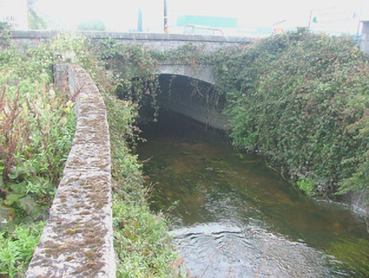 Pound Bridgebridge · 511 yd
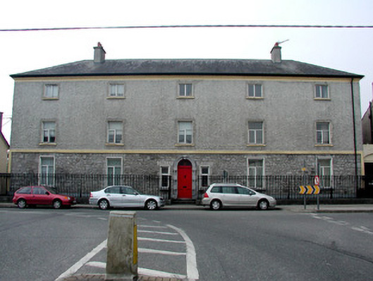 Library Hallhospital/infirmary · 601 yd
 BarrowBarrow, ditch barrow · 871 yd
 Grand Canal WayWalking route · 983 yd
 IndicatedFairy fort / earthen ringfort · 1.1 mi
 Bawn in BallydrohidBawn · 1.2 mi
 Srah CastleRuins · 1.2 mi
 Charleville ForestWood · 1.7 mi
 Pedunculate OakPedunculate Oak · 1.8 mi
 Christ's WellSpring · 2.2 mi
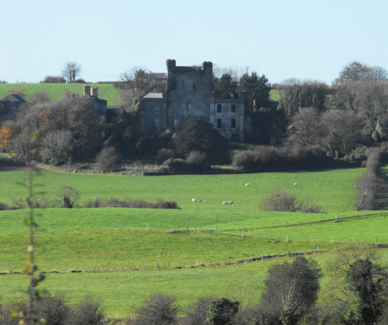 St O'Hara's HillMountain / peak · 2.3 mi
 Sugar HillMountain / peak · 3.3 mi
Other information
Photo: Trenchspike · CC BY-SA 4.0