What is recorded here
In wet pasture, at the E end of a low ridge (long axis c. E-W), on a gentle E-facing slope. Monument identified during ASI fieldwork. A circular area (dims. 6m E-W; 5.75m N-S) defined by a fosse (Wth 0.75-1m; D 0.05-0.1m). The interior is generally level. Enclosure (TS059-004----) is c. 28m to ESE.
Compiled by: Jean Farrelly
Date of upload: 24 October 2013
A Neolithic ditch barrow; its shallow fosse and circular form are characteristic of early funerary monuments in the region, reflecting ritual landscape use.
The monument record does not grant public access. Check the route and ask the landowner before entering private land.
- What survives
- Recorded monument
Places near here
 Enclosure in LisheenkyleEnclosure · 1112 yd
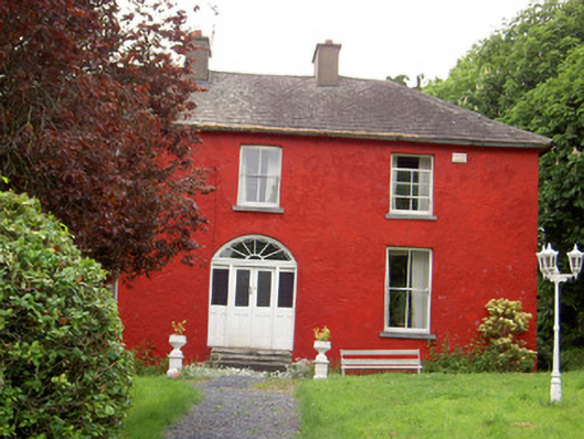 Chadville Househouse · 1520 yd
 Enclosure in GreenfieldEnclosure · 1610 yd
 Garryshane National Schoolschool · 1714 yd
 Donohill MoatCastle, motte and bailey · 1.0 mi
 Soloheadbeg Ambushambush · 1.6 mi
 Green Field ParkWood · 1.8 mi
 Shanbally fortCastle, ringwork and bailey · 2.4 mi
 Oola HillMountain / peak · 3.9 mi
 I.R.A. 3rd. Tipperary Brigade MemorialMemorial · 4.7 mi
 It's a long way to TippereryHeritage attraction · 4.8 mi
 The Maid of ErinMemorial · 4.9 mi