What is recorded here
At the base of a slight hollow, on a slight S-facing slope, in gently undulating improved pasture. Ringfort (TS058-055002-) is located 14m to the SW. Roughly circular area (diam. 16m) defined by a low broad earthen scarp (overall Wth 2-4m; H 0.3-0.5m) with an external fosse (overall Wth 6.5m; D 0.2-0.7m). A septic tank has been cut into the base of the fosse at NW. The scarped edge has been cut back and the fosse infilled NW-E and the NW-SE orientated N24 road abuts the line of the outer edge of the infilled fosse at E. The interior slopes slightly facing SW, undulates irregularly and is clear of overgrowth. Due to the underlying natural slope, external ground level is slightly higher than the level of the interior at N.
Compiled by: Jean Farrelly
Date of upload: 26 August 2011
Ditch barrow, likely dating to the Early Bronze Age. Its association with a nearby ringfort suggests potential ceremonial or territorial significance in the prehistoric landscape.
The monument record does not grant public access. Check the route and ask the landowner before entering private land.
- What survives
- Recorded monument
Places near here
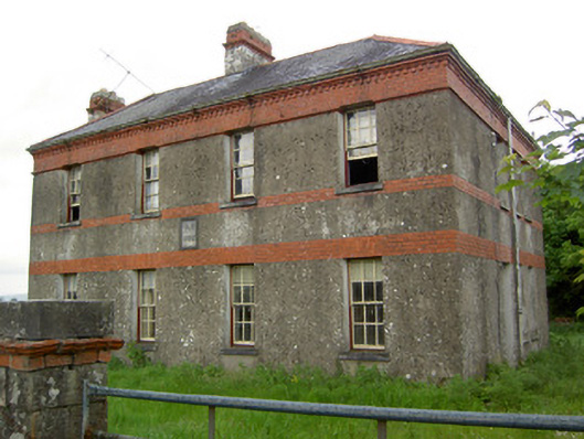 Victoria Houseoffice · 148 yd
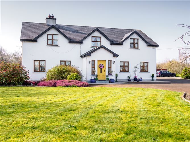 Enclosure in Barronstown (laffan),barronstown (ormond), (tipperary Par.)Enclosure · 677 yd
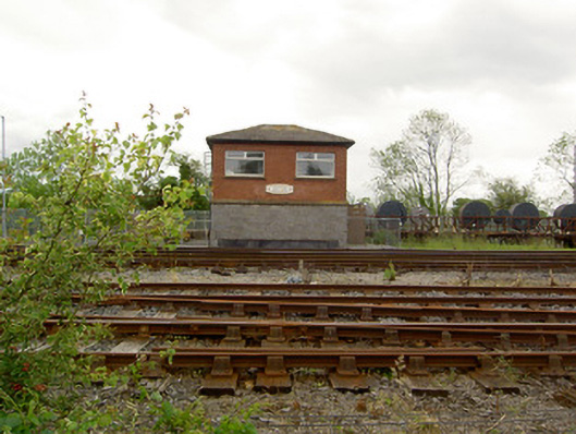 Limerick Junction Railway Stationsignal box · 690 yd
 Hut site in BallykisteenHut site · 939 yd
 Mutton Pie HillCastle, motte · 1.5 mi
 MoatCastle, motte and bailey · 1.7 mi
 Soloheadbeg Ambush SiteMemorial · 1.9 mi
 The Maid of ErinMemorial · 2.0 mi
 It's a long way to TippereryHeritage attraction · 2.1 mi
 Soloheadbeg Ambushambush · 2.5 mi
 Oola HillMountain / peak · 3.3 mi
 European ashEuropean ash · 4.2 mi