What is recorded here
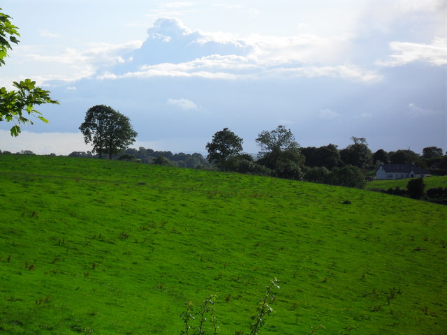
Barrow is a ditch barrow hidden in reclaimed pasture beside Lissard, one of six burial mounds clustered within a hundred metres of each other. Men dug three neighbouring mounds in 1935 and found no unmistakable burial, suggesting either that the dead were taken elsewhere or that memory itself had been erased. The untouched barrow still holds its shape beneath grass and forgetting, waiting for someone patient enough to listen for what the soil refuses to say.
In reclaimed pasture 135m E of a stream and 60m W of the townland boundary with Lissard. One of 6 barrows (LI049-072010/015-) in a field to E of drainage ditch that makes up a barrow cemetery concentrated in an area measuring 100m N-S x 115m E-W. Barrow cemetery (LI049-072001/009-) lies 180m to W and enclosure (LI049-072016-) lies 50m to S. Three of the 6 barrows (LI049-072010/015-) in this cemetery were excavated in 1935 by S. P. Ó Ríordáin (1936, 176-177) the results of which were described as follows; ‘In 1935 further excavations were conducted on a total of twenty of these monuments. The results were frankly disappointing as no unmistakable burial was found in any of the barrows excavated’ (Ó Ríordáin 1936, 177). This site which was not excavated is located in N section of the field 50m to the NW of the excavated barrow (LI049-072015-). No surface remains visible on Google Earth orthoimages.
See attached location map taken from Ó Ríordáin and Google Earth orthoimages.
Compiled by: Martin Fitzpatrick
Date of upload: 27 September 2021
Ditch barrow, likely dating to the Early Bronze Age. Part of a small barrow cemetery, indicating a local funerary tradition and settlement activity in the area during the Bronze Age.
The monument record does not grant public access. Check the route and ask the landowner before entering private land.
- What survives
- Recorded monument
Places near here
 BarrowBarrow, ditch barrow · 221 yd
 Partially hachuredQuarry · 845 yd
 Partially indicatedFulacht fia · 871 yd
 Darby's Bed Walk LoopWalking route · 1189 yd
 Duntryleague HillMountain / peak · 1244 yd
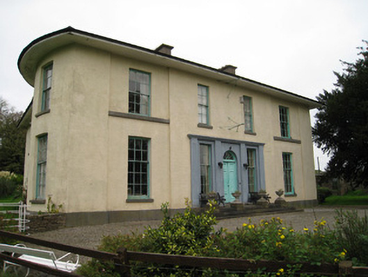 Glenefyhouse · 1398 yd
 Duntryleague - hachuredCastle, ringwork · 1487 yd
 Carn (site of)Cairn, burial cairn · 1.6 mi
 Ryves CastleCastle, unclassified · 1.6 mi
 Saint Patrick's WellSpring · 2.1 mi
 St Patrick's WellSpring · 3.2 mi
 SlievereaghMountain / peak · 3.8 mi