What is recorded here
Barrow is a ditch barrow in County Limerick, one of six buried under pasture beside a drainage ditch. In 1935, S. P. Ó Ríordáin excavated three of them and found no unmistakable burial, only soil and silence. The dead may have been moved, lost, or never placed there at all. What remains is a hollow circle of earth, marking a choice made by people who are no longer named.
In reclaimed pasture 120m E of a stream and 50m W of the townland boundary with Lissard. One of 6 barrows (LI049-072010/015-) in a field to E of drainage ditch that makes up a barrow cemetery concentrated in an area measuring 100m N-S x 115m E-W. Barrow cemetery (LI049-072001/009-) lies 200m to W and enclosure (LI049-072016-) lies to immediate S. Three of the 6 barrows (LI049-072010/015-) in this cemetery were excavated in 1935 by S. P. Ó Ríordáin (1936, 176-177) the results of which were described as follows; ‘In 1935 further excavations were conducted on a total of twenty of these monuments. The results were frankly disappointing as no unmistakable burial was found in any of the barrows excavated’ (Ó Ríordáin 1936, 177). This site, which was excavated, is located in S quadrant of the field 25m to the NE of the excavated barrow (LI049-072014-). No surface remains visible on Google Earth orthoimages.
See attached location map taken from Ó Ríordáin and Google Earth orthoimages.
Compiled by: Martin Fitzpatrick
Date of upload: 27 September 2021
Ditch barrow, likely dating to the Early Bronze Age. It is part of a small barrow cemetery, indicating a localized funerary tradition and possible social or ritual significance in the landscape.
The monument record does not grant public access. Check the route and ask the landowner before entering private land.
- What survives
- Recorded monument
Places near here
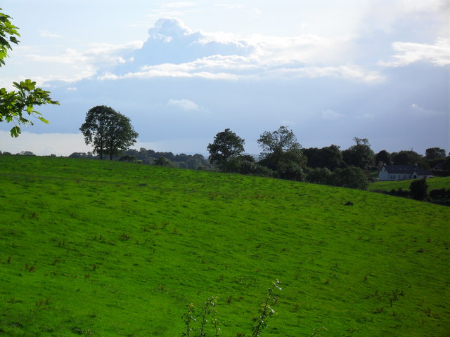 BarrowBarrow, ditch barrow · 243 yd
 Partially hachuredQuarry · 793 yd
 Partially indicatedFulacht fia · 894 yd
 Darby's Bed Walk LoopWalking route · 1134 yd
 Duntryleague HillMountain / peak · 1189 yd
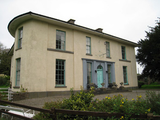 Glenefyhouse · 1375 yd
 Duntryleague - hachuredCastle, ringwork · 1451 yd
 Carn (site of)Cairn, burial cairn · 1.6 mi
 Ryves CastleCastle, unclassified · 1.6 mi
 Saint Patrick's WellSpring · 2.1 mi
 St Patrick's WellSpring · 3.2 mi
 SlievereaghMountain / peak · 3.8 mi