
What is recorded here
On a gentle WSW-facing slope, in improved pasture, 72m E of a townland boundary with Portboy which also marks a main watercourse that flows into the Ballynamona River 740m to SE. The northern most of five contiguous barrows (LI032-289/290/291/292/293) arranged roughly NW-SE along the top of a long ridge and varying from 7-24m distance apart. Not depicted on OSi historic maps. Monument identified by the Bruff aerial photographic survey in 1986 (Bruff 291.01: AP 4/3609) as a small circular-shaped cropmark. Monument is not clearly visible on OSi orthoimage taken 2005-2012, or on Digital Globe orthoimage taken 2011-2013 or on Google Earth orthoimage 20/09/20.
See attached Google Earth orthoimage and Bruff aerial survey image labelled 291.01.
Compiled by: Alison McQueen and Vera Rahilly
Date of upload: 27 November 2020
Ditch barrow, likely dating to the Early Bronze Age. Its presence suggests a broader pattern of burial activity in the region, reflecting early ceremonial or funerary practices.
The monument record does not grant public access. Check the route and ask the landowner before entering private land.
- What survives
- Recorded monument
Places near here
 RoadRoad, road/trackway · 294 yd
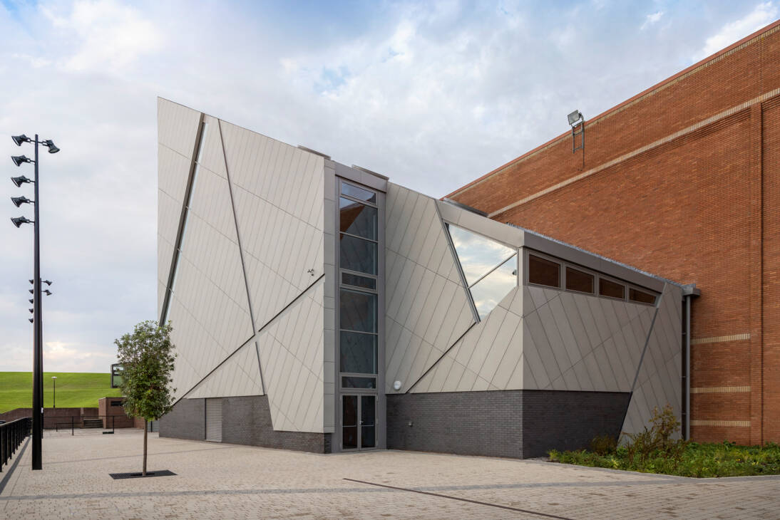 Enclosure in Ballinscoola (smallcounty By., Cahercorney Ed)Enclosure · 1297 yd
 Site of ChurchChurch · 1382 yd
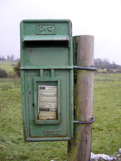 post boxpost box · 1550 yd
 Ballynamona Castle (Site of)Castle, unclassified · 1.1 mi
 Castle (in ruins)Castle, unclassified · 1.3 mi
 Kilteely HillMountain / peak · 1.7 mi
 St. Patrick's WellSpring · 2.0 mi
 Flat cemetery in Knockainy WestFlat cemetery · 2.7 mi
 KnockseefinMountain / peak · 4.8 mi
 St Patrick's WellSpring · 5.8 mi
 Ballinvreena LoopVisitor information · 8.3 mi
Other information
Photo: Credit not shown in the picture search · Rights wording not checked; contact us if this picture should be removed