
What is recorded here
Herbertstown is a small townland in County Limerick. It contains or borders Site of Church, a church place. The area is best judged from that visible function and the facts already supplied for it.
In 1840 the levelled church site was described as following; 'The old church of this parish was situated on the top of a fertile hill in the townland of Ballinard half a mile south east of the village of Herbertstown but the foundation of its walls cannot now be traced. The old graveyard (LI032-093002-) in which it stood is still much in use and is called by the people "the Old Abbey" (OSL). The revised edition of the OS 6-inch map incorrectly shows the church site as being located to the NE of the graveyard wall.
Westropp (1904-5, 446-7) recorded the following details about Ballinard; 'A parish in Small County at Herbertstown. Catherussoc, 1251 (Plea R. xxxvi Hen. III.); Cathyr Hussoc, held by late Thomas de Clare, 1287 (C.S.P.L, p. 204); Catherussoc, in Grene, 1302. In 1325 Cathyryssok was held by Philip de Ade (Plea R. 127 of xiii Ed. II, m. 3). Grant, of 1541, of Kayrcorney, Kayrfussoke, Kylcalane, and other church livings to Nic. Fannynge (Fiants, 311). Lease of Kairefussock and others as above, the appurtenances of Aney Commandery to W. Apsley, 1578 (ib., 3250); Ballynarde, or Ballynamrare, 1586 (Peyton, p. 16). Caherfuishag or Bailinard Church uncovered, 1615 b. The tithes of Ballynard, or Caherfissoge, granted with Cahercorney, Kilcullan, and Kilfrush to W. Neave, 1703 (Pat. R.). The name is said to mean "weasel's fort," Cathair Fearoige. Site - It stood on a hill, and was only remembered as "the old abbey" in 1840, being then entirely levelled (O.S.L., 8, p. 131)'.
Compiled by: Caimin O'Brien
Date of upload: 26 April 2019
The monument record does not grant public access. Check the route and ask the landowner before entering private land.
- What survives
- Recorded monument
Places near here
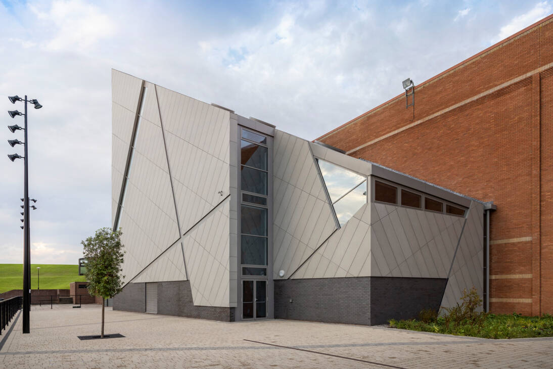 Enclosure in Ballinscoola (smallcounty By., Cahercorney Ed)Enclosure · 697 yd
 Earthwork in BallinardEarthwork · 924 yd
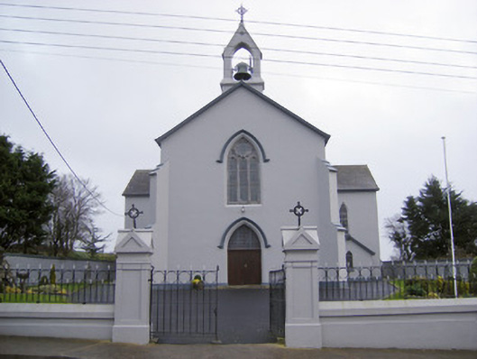 Catholic Church of the Sacred Heartchurch/chapel · 954 yd
 Castle (in ruins)Castle, unclassified · 1145 yd
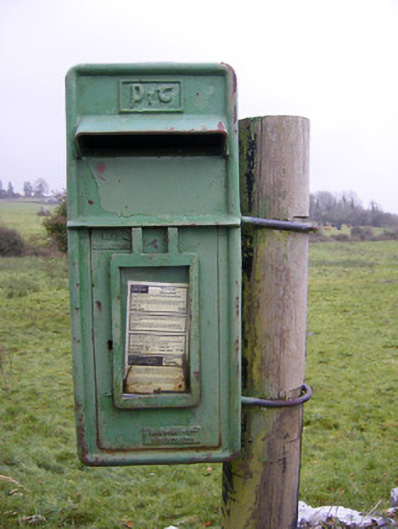 post boxpost box · 1652 yd
 Ballynamona Castle (Site of)Castle, unclassified · 1.2 mi
 Kilteely HillMountain / peak · 2.4 mi
 Glen BogForest · 2.5 mi
 St. Patrick's WellSpring · 2.6 mi
 Flat cemetery in Knockainy WestFlat cemetery · 2.9 mi
 KnockseefinMountain / peak · 5.1 mi
 St Patrick's WellSpring · 6.3 mi
Other information
Photo: Credit not shown in the picture search · Rights wording not checked; contact us if this picture should be removed