
What is recorded here
On a SW-facing slope, in improved pasture, 125m NE of a townland boundary with Portboy and 350m to NW of the Ballynamona River. A complex of contiguous barrows (LI032-289/290/291/292/293----) lie 200m to W. Not depicted on OSi historic maps. Monument identified by the Bruff aerial photographic survey in 1986 (Bruff 192: AP 4/3609) as a long, linear-shaped earthwork running NE-SW and spanning two fields. Monument is clearly visible as a linear-shaped cropmark (approx. L 340m; Wth 23m) running NE-SW on OSi orthoimage taken 2005-2012, on Digital Globe orthoimage taken 2011-2013 and on Google Earth orthoimage 25/05/2017.
See attached Google Earth orthoimage and Bruff aerial survey image labelled 192
Compiled by: Alison McQueen and Vera Rahilly
Date of upload: 21 November 2020
The monument record does not grant public access. Check the route and ask the landowner before entering private land.
- What survives
- Recorded monument
Places near here
 BarrowBarrow, ditch barrow · 294 yd
 Earthwork in BallinloughEarthwork · 1215 yd
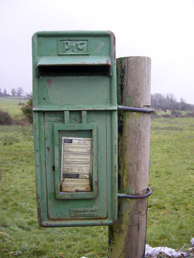 post boxpost box · 1695 yd
 Ballynamona Church (in ruins)Church · 1.1 mi
 Ballynamona Castle (Site of)Castle, unclassified · 1.1 mi
 Kilteely HillMountain / peak · 1.6 mi
 St. Patrick's WellSpring · 1.9 mi
 Castle (in ruins)Castle, unclassified · 2.0 mi
 Flat cemetery in Knockainy WestFlat cemetery · 2.7 mi
 KnockseefinMountain / peak · 4.7 mi
 St Patrick's WellSpring · 5.7 mi
 Ballinvreena LoopVisitor information · 8.2 mi
Other information
Photo: Credit not shown in the picture search · Rights wording not checked; contact us if this picture should be removed