What is recorded here
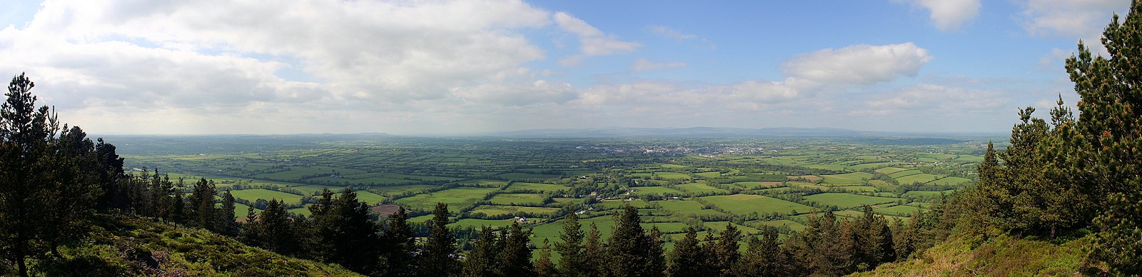
In a valley, in a dip between two hummocks, on a slight S-facing slope of a gentle hillock in gently undulating hummocky wet terrain, in pasture. The view is generally good along the valley floor and also to the S of the N slopes of a hill range, including Moanour Mountain, Slievenamuck, Carrigeenina and The Steeple. A circular enclosure visible on satellite imagery (Google Earth satellite imagery, 18 November 2018), identified and reported by Jean-Charles Caillère. A low circular flat-topped mound (diam. 7.3m; H 0.15m) enclosed by a shallow fosse (Wth 1.8m; D 0.1m). There are a number of circular impressions immediately E of this mound, on the top of the natural rise, which have been created by cattle poaching around ring-feeders. The mound and fosse of the possible monument is more defined, the fosse being deeper and the mound therefore more accentuated, than the neighbouring circular impressions. Also its location in a hollow seems a poor choice for a ring-feeder. According to the landowners they don’t remember a ring-feeder ever being positioned in the hollow. However, similar to the neighbouring ring-feeders, there are a lot of nettles growing on the mound and in the fosse which suggests that the ground was more recently disturbed. Two ring-barrows (TS066-226----; TS066-228----) are located c. 90-100m to the NW.
See attached:
TS066-228----_01 Google Earth image (imagery date 18 November 2018)
TS066-228----_02 Overview from the E
Compiled by: Jean Farrelly
Date of upload: 14 January 2022
The monument record does not grant public access. Check the route and ask the landowner before entering private land.
- What survives
- Recorded monument
Places near here
 Enclosure in Shronell (bruis Par.)Enclosure · 336 yd
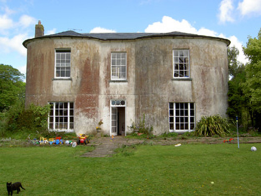
 RathfaunEnclosure · 383 yd
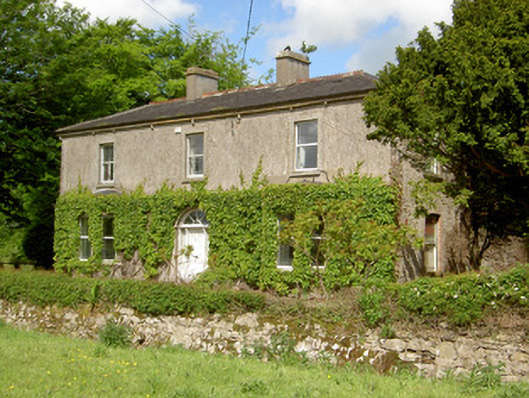
 Shronell Househouse · 892 yd
 Damervillehouse · 1152 yd
 CastleCastle, ringwork · 1223 yd
 MoatCastle, motte · 1659 yd
 SlievenamuckMountain / peak · 2.5 mi
 Bansha ForestForest · 3.0 mi
 Glen of AherlowViewpoint · 4.1 mi
 Christ the KingViewpoint · 4.1 mi
 The RockViewpoint · 4.2 mi
 Carn (site of)Cairn, burial cairn · 4.3 mi