What is recorded here
On slight SE-facing slope, in poorly drained pasture with stream 95m to SE. Ring-barrow (LI024-224----) lies 170m to ENE. Surveyed by the ASI in 2008 and described as a poorly preserved monument consisting of a circular-shaped area (20m N-S; 18m E-W) defined by a scarp (Wth 3.4m; H 0.65m) with possible traces of a shallow external fosse visible from NW-N-NE. The interior has a gentle S-facing slope. According to local information this area is known as ‘the moat field’. Outline of earthwork visible on Google Earth orthoimages taken 28/06/2018 and 18/11/2018.
See attached sketch plan and cross-sections surveyed and drawn by the ASI.
See attached Google Earth orthoimages
Compiled by: Alison McQueen and Vera Rahilly
Date of upload: 18 July 2020
A ditch barrow, likely dating to the Early Bronze Age. Its significance lies in its association with early funerary practices and burial mounds in the region.
The monument record does not grant public access. Check the route and ask the landowner before entering private land.
- What survives
- Recorded monument
Places near here
 BarrowBarrow, ring-barrow · 364 yd
 Clashatloe, OutlinedEnclosure · 863 yd
 Aglishcormick Grave YardChurch · 1741 yd
 Pallas MoatCastle, motte · 1.1 mi
 (Site of) CastleCastle, unclassified · 1.1 mi
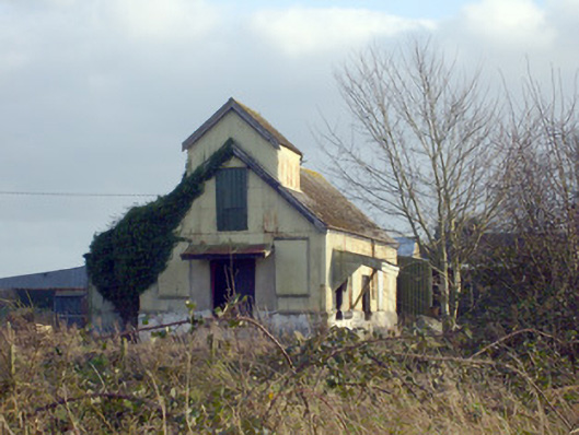 Race Creamerycreamery · 1.2 mi
 KnockseefinMountain / peak · 1.3 mi
 St. Patrick's WellSpring · 1.5 mi
 Kilteely HillMountain / peak · 1.9 mi
 Flat cemetery in Knockainy WestFlat cemetery · 5.9 mi
 St Patrick's WellSpring · 7.9 mi
 Ballinvreena LoopVisitor information · 11 mi