What is recorded here
In low-lying level rough pasture. Visible as a circular enclosure (diam. c. 8m) on an aerial photograph (OS 2429/30/31). A ditch barrow (TS065-029----) is located c. 100m to the SE and two ring-barrows (TS065-028001- and TS065-028002-) are located c. 200m and c. 160m to the SW respectively.
Compiled by: Jean Farrelly
Date of revised upload: 16 September 2014
Ditch barrow, likely dating to the Early Bronze Age (c. 2000–1500 BCE). These monuments are significant as they represent early funerary and ritual practices associated with burial mounds and earthworks in Ireland.
The monument record does not grant public access. Check the route and ask the landowner before entering private land.
- What survives
- Recorded monument
Places near here
 Enclosure in Ballyholahan EastEnclosure · 354 yd
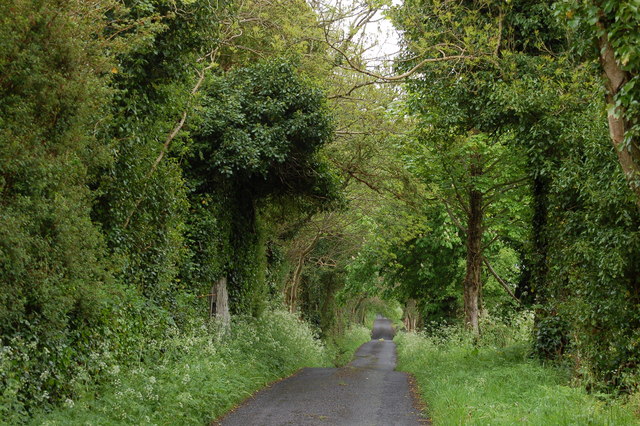 Enclosure in BallyhoneEnclosure · 1591 yd
 Glebe Ho.Castle, unclassified · 1.0 mi
 Church in Lackelly WestChurch · 1.1 mi
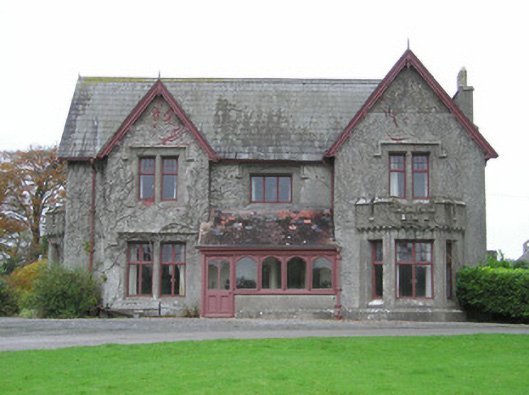 Scarteen Housecountry house · 1.3 mi
 CastleCastle, motte · 1.7 mi
 Carn (site of)Cairn, burial cairn · 1.7 mi
 St Patrick's WellSpring · 1.8 mi
 Saint Patrick's WellSpring · 2.6 mi
 Flat cemetery in Knockainy WestFlat cemetery · 3.7 mi
 Ballinvreena LoopVisitor information · 4.8 mi
 Kilteely HillMountain / peak · 5.0 mi