What is recorded here
In gently undulating wet pasture with two possible barrows (TS065-028001- and TS065-028002) located 200-250m to the W and another (TS065-074----) c. 100m to the NW. Identified on an aerial photograph (Ordnance Survey 2430/1). Faint traces of a circular area (diam. c. 5m) defined by a shallow fosse (overall Wth c. 1m; D 0.05m) are visible at ground level. The interior is level and clear of overgrowth.
Compiled by: Jean Farrelly
Date of upload: 14 May 2014
Ditch barrow, likely dating to the Early Bronze Age (c. 2000–1500 BCE), associated with burial and ritual practices of the period. Its location within a possible barrow group suggests it may be part of a wider funerary landscape.
The monument record does not grant public access. Check the route and ask the landowner before entering private land.
- What survives
- Recorded monument
Places near here
 Enclosure in Ballyholahan EastEnclosure · 255 yd
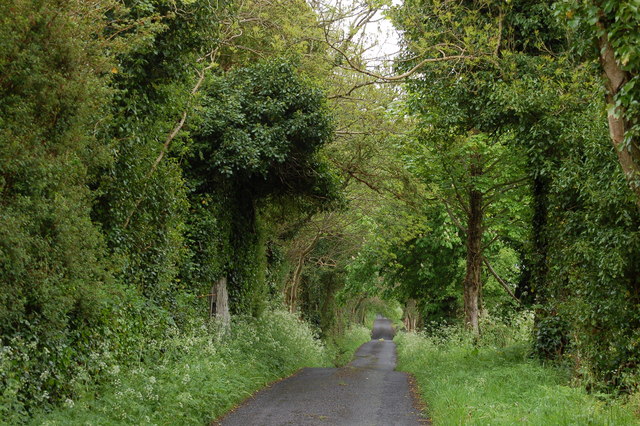 Enclosure in BallyhoneEnclosure · 1671 yd
 Glebe Ho.Castle, unclassified · 1.0 mi
 Church in Lackelly WestChurch · 1.1 mi
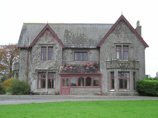 Scarteen Housecountry house · 1.3 mi
 Carn (site of)Cairn, burial cairn · 1.6 mi
 CastleCastle, motte · 1.7 mi
 St Patrick's WellSpring · 1.8 mi
 Saint Patrick's WellSpring · 2.6 mi
 Flat cemetery in Knockainy WestFlat cemetery · 3.7 mi
 Ballinvreena LoopVisitor information · 4.8 mi
 SlievereaghMountain / peak · 5.0 mi