What is recorded here
In reclaimed wet pasture, 200m SW of Morningstar River that forms townland boundary with Elton. Not marked on OSi historic maps. One of six possible barrows (LI040-106002-/005-; 007-) within the SW quadrant of a possible field system (LI040-106001-). Identified as a circular feature during examination of Bórd Gáis Éireann gas pipeline aerial photographs (BGE 1/5,000, 2562) taken 03/11/1984. No surface remains visible on Digital Globe orthoimage taken between 2011-13 or on Google Earth orthoimages.
See attached BGE aerial photograph and Google Earth orthoimages.
Compiled by: Fiona Rooney
Date of upload: 22 June 2021
A Neolithic ditch barrow; part of a possible barrow group, indicating early communal burial practices and landscape organisation in the region.
The monument record does not grant public access. Check the route and ask the landowner before entering private land.
- What survives
- Recorded monument
Places near here
 Field system in BallinvanaField system · 78 yd
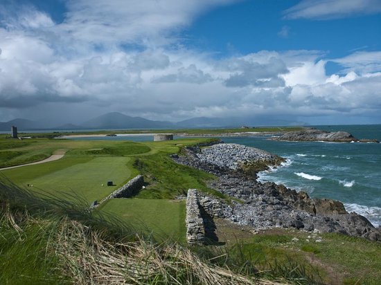 BarrowBarrow, ditch barrow · 181 yd
 Athneasy FortCastle, motte and bailey · 348 yd
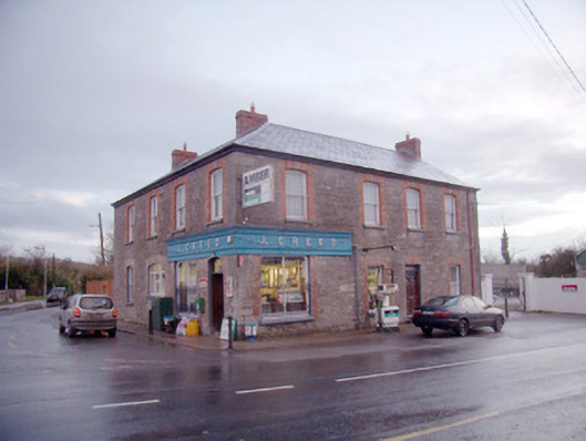 J. Creedhouse · 473 yd
 Knocktoran Housegate lodge · 1017 yd
 Gormanstown Castle (in ruins)Castle, unclassified · 1.8 mi
 Edmund's WellSpring · 2.4 mi
 St Patrick's WellSpring · 2.5 mi
 Ballinvreena LoopVisitor information · 2.7 mi
 Flat cemetery in Knockainy WestFlat cemetery · 3.2 mi
 KnockainyMountain / peak · 3.7 mi
 SlievereaghMountain / peak · 4.2 mi
Other information
Photo: Credit not shown in the picture search · Rights wording not checked; contact us if this picture should be removed