What is recorded here
In level pasture, at the foot of the Bricklieve Mountains. A slightly raised circular area (int. diam. 12.2m; H 0.25m) surrounded by waterlogged ground, possibly indicating a silted-up fosse. The perimeter is planted with trees.
The above description is derived from the published 'Archaeological Inventory of County Sligo' compiled by Ursula Egan, Elizabeth Byrne, Mary Sleeman with Sheila Ronan and Connie Murphy (Dublin Stationery Office, 2005).
Date of upload: 18 January 2008
A Neolithic ditch barrow, dating to approximately 4000–2500 BCE, likely used as a burial monument. Its waterlogged fosse suggests early attempts at enclosure, reflecting regional funerary practices in upland western Ireland.
The monument record does not grant public access. Check the route and ask the landowner before entering private land.
- What survives
- Recorded monument
Places near here
 Ritual siteRitual site, holy/saint's stone · 209 yd
 Font in AghanaghFont · 329 yd
 Church in AghanaghChurch · 707 yd
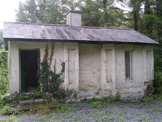 Hollybrook Housegate lodge · 1244 yd
 Ballinafad CastleCastle · 1401 yd
 Muck IslandIslet · 1.2 mi
 Carricknahorna EastMountain / peak · 1.5 mi
 MoatCastle, motte · 1.5 mi
 Loughbrick BayBay · 2.0 mi
 Bricklieve MountainsMountain / peak · 2.1 mi
 InishmoreIslet · 2.3 mi
 Treanscrabbagh caveCave · 2.6 mi