What is recorded here
Surveyed in 2012 and described by McGuinness (2012, 35) as following: 'Small, low, roughly circular mound (Diam. 3.4m N-S x 3.5m E-W) with traces of shallow ditch, 1.5m wide, most clearly visible on SSW side, situated on flattish summit of Frewin Hill. Site was overgrown with nettles when examined, apparently following line of ditch but making this low-relief monument difficult to see; as such, height of mound could not be ascertained. Large cairn or tumulus (WM011-133----) lies 10m to ESE and 8m to SW of this is a second tiny barrow (WM011-132----). Barrow appears to lie on line between large tumulus (WM011-133----) and bowl-barrow (WM011-131----) to ENE. As with nearby WM011-132---- to S, ground slopes down sharply immediately to W.
Compiled by: Caimin O'Brien based on details provided by David McGuinness.
Date of upload: 23 February 2015
Bowl barrow, dating to the Early Bronze Age (c. 2500–1500 BCE). It represents a common form of burial monument in the British Isles, reflecting early communal burial practices and social organisation.
The monument record does not grant public access. Check the route and ask the landowner before entering private land.
- What survives
- Recorded monument
Places near here
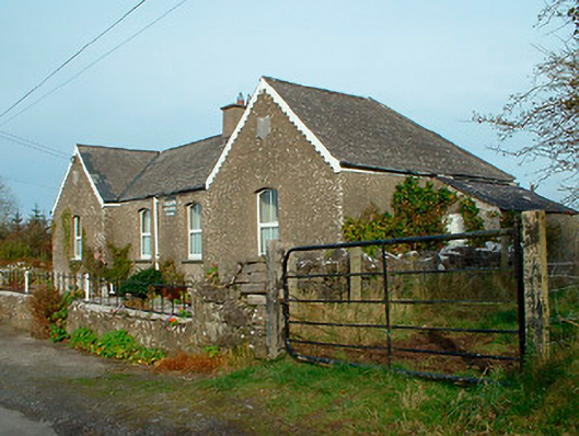 Balrath National Schoolschool · 675 yd
 Partially hachuredFairy fort / earthen ringfort · 765 yd
 Lack LomanArchaeological place · 1339 yd
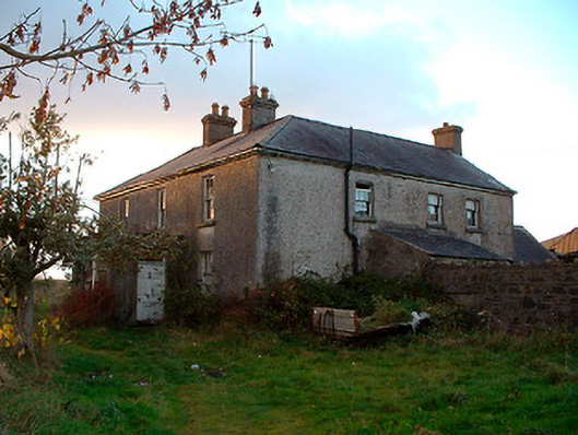 Johnstown Househouse · 1608 yd
 IndicatedBawn · 1702 yd
 Nugent's CastleCastle · 1.2 mi
 Carrickphilbin IslandIslet · 1.3 mi
 Srudarra IslandIslet · 2.0 mi
 Baronstown ForestWood · 3.8 mi
 Horse-chestnutHorse-chestnut · 3.9 mi
 Bridge Memorial (Kenna)Memorial · 3.9 mi
 Abbeyshrule AbbeyRuins · 9.3 mi