What is recorded here
Surveyed in 2012 and described by McGuinness (2012, 31) as following: 'Tall, flat-topped and steep-sided conical mound (Diam. 15.5m N-S), heavily overgrown with thorn trees and brambles, situated on brow of low ridge that runs NW-SE along NE side of River Gaine. Where measurement is possible on NE side, mound is 2.1m in height. Mound is surrounded by shallow ditch, best preserved on SSW side, where it reaches 0.16m below ground level. Part of NW edge of mound has been shorn off, showing it to be composed of earth with some stone. A piece of SW side also appears to have been removed, but this area is heavily overgrown. Visibility from the monument is quite poor on account of its low-lying position, being best to SW and W. The RMP lists two other 'Burial Mounds' and a 'Mound' in fields close by (WM007-073----; WM007-074----' WM007-076----), but these were not located'.
Compiled by: Caimin O'Brien based on details provided by David McGuinness.
Date of upload: 22 April 2016
Barrow, bowl-barrow in Multyfarnham is a Bronze Age round barrow, characterised by its conical shape and flat top. Such barrows are typically associated with early burial practices and may indicate a local tradition of elite or communal interment in the landscape.
The monument record does not grant public access. Check the route and ask the landowner before entering private land.
- What survives
- Recorded monument
Places near here
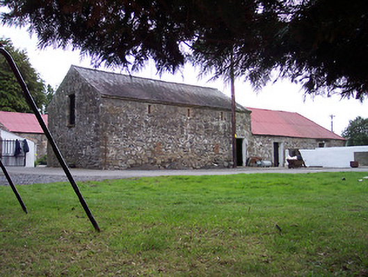 Greenviewoutbuilding · 567 yd
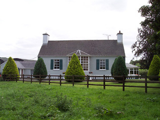 Ballindurrow Househouse · 906 yd
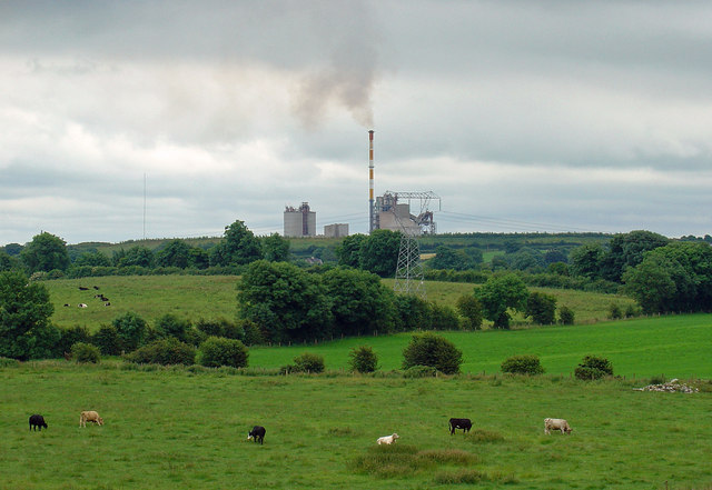 Partially indicatedCastle, motte · 953 yd
 Bridge Memorial (Kenna)Memorial · 1297 yd
 Partially outlinedFairy fort / ringfort · 1302 yd
 ConventEcclesiastical site · 1310 yd
 CastleCastle, unclassified · 1422 yd
 Scragh Bog Nature ReserveNature reserve · 3.1 mi
 Church IslandIsland · 3.8 mi
 Carrickphilbin IslandIslet · 4.1 mi
 Long PlantingForest · 4.2 mi
 Seafin HillMountain / peak · 9.8 mi