What is recorded here
In pasture on a very slight N-facing slope. A possible moated site (TS057-058----) is located 60m to the SE. Circular flat-topped mound (dims. diam. top 5m; diam. base 7m; H 1m) of earth. The interior is very slightly dished at the centre but this is as a result of modern erosion by livestock.
Compiled by: Jean Farrelly
Date of upload: 26 August 2011
Bowl barrow, likely dating to the Early Bronze Age. It represents a common form of burial monument in the British Isles, reflecting early ceremonial and funerary practices.
The monument record does not grant public access. Check the route and ask the landowner before entering private land.
- What survives
- Recorded monument
Places near here
 Site of Killeen ChurchChurch · 1102 yd
 Enclosure in ChancellorslandEnclosure · 1413 yd
 Killeengallive Abbey (in Ruins)Religious house, Franciscan friars · 1.3 mi
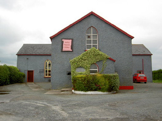 Halla Naomh Ailbhechurch/chapel · 1.4 mi
 Glebe Ho.Castle, unclassified · 1.6 mi
 CashlanCastle, unclassified · 1.6 mi
 Kilteely HillMountain / peak · 2.9 mi
 St. Patrick's WellSpring · 3.3 mi
 Flat cemetery in Knockainy WestFlat cemetery · 3.9 mi
 St Patrick's WellSpring · 4.1 mi
 Oola HillMountain / peak · 5.7 mi
 Ballinvreena LoopVisitor information · 7.1 mi