What is recorded here
Situated on a low rise, on a NW-facing slope, in low-lying wet pasture, overlooking a stream c. 45m to NW. A castle site (WM029-034----) lies c. 40m to E. Depicted on the revised 1910 ed. OS 25-inch map as a small oval-shaped earthwork (approx. dims. 10m NE-SW; 8m NW-SE). Monument described in 1973 as a small, roughly circular-shaped mound of earth and stone the base of which is enclosed by traces of a fosse which is best preserved from SE-S-SW. The top of the mound is gently rounded. There are the remains of a square-shaped building (dims. 4m x 4m) at S which is defined by stone walls (H 2m) that are best preserved to S and W. Only the base of the N and E walls survive. Monument is visible today as a roughly oval-shaped tree-planted earthwork on Digital Globe aerial photography.
Compiled by Alison McQueen, Vera Rahilly and Caimin O’Brien.
Date of upload: 07 November 2019
Bowl barrow, likely dating to the Early Bronze Age. Its location suggests a possible funerary or ceremonial role within a broader landscape of prehistoric and medieval sites.
The monument record does not grant public access. Check the route and ask the landowner before entering private land.
- What survives
- Recorded monument
Places near here
 Cloonbonny Bridgebridge · 393 yd
 Cloonbonny Househouse · 733 yd
 Castle O'BrienCastle · 1575 yd
 OutlinedFairy fort / earthen ringfort · 1.3 mi
 Inauguration site in CarrickobreenInauguration site · 1.5 mi
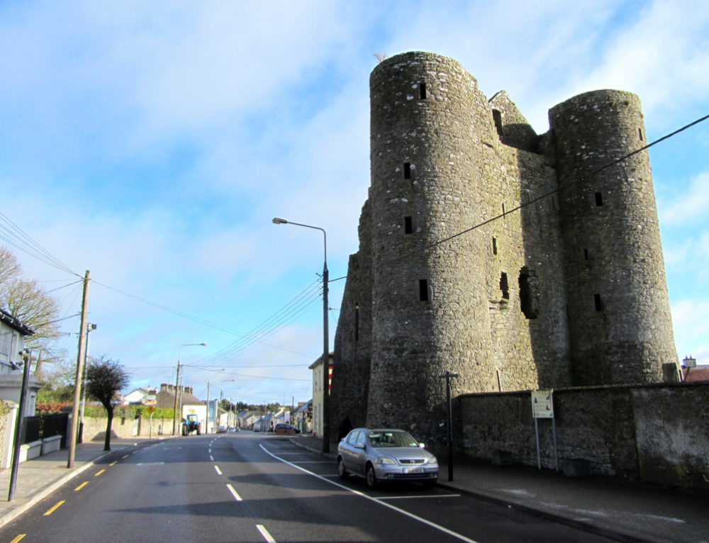 GarrycastleCastle · 1.5 mi
 Wren's IslandIslet · 1.7 mi
 Long IslandIsland · 1.8 mi
 Athlone Music MuseumMuseum · 2.6 mi
 1916 Centenery CommemorationMemorial · 2.7 mi
 Bastion GalleryGallery · 2.8 mi