What is recorded here
In pasture, near the top of a SE-facing slope. A circular steep-sided mound (diam. 15.6m) 2.1m high above the base of the fosse along the N arc and 1.85m high above it along the S arc, giving a stepped appearance. The base of the mound is enclosed all round by a fosse (Wth 5.2m) and along the S and W arcs by an external bank (Wth 3.9m; int. H 0.75m to base of fosse; ext. H 0.25m). The bank is incorporated into a field boundary along the N arc. The mound is overgrown with brambles.
The above description is derived from the published 'Archaeological Inventory of County Sligo' compiled by Ursula Egan, Elizabeth Byrne, Mary Sleeman with Sheila Ronan and Connie Murphy (Dublin Stationery Office, 2005).
Date of upload: 18 January 2008
Bowl barrow, likely dating to the Early Bronze Age. Its construction and location suggest a significant funerary or ceremonial function in a prehistoric landscape.
The monument record does not grant public access. Check the route and ask the landowner before entering private land.
- What survives
- Recorded monument
Places near here
 Indicated (1838).Fairy fort / earthen ringfort · 693 yd
 Hut site in Carrigeenboy (tirerrill By., Kilmactranny Ed)Hut site · 1010 yd
 Foyoges Bridgebridge · 1.0 mi
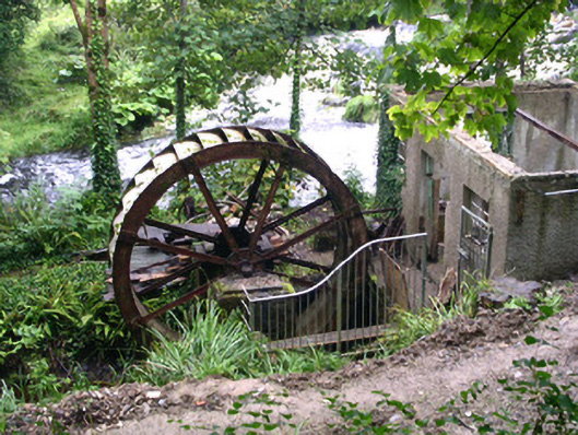 hydroelectric power stationhydroelectric power station · 1.1 mi
 Josie McDermott MemorialMemorial · 1.5 mi
 Green IslandIslet · 1.7 mi
 Geevagh Prisoners 1908 MemorialMemorial · 1.8 mi
 Annagh WoodForest · 2.1 mi
 Roundhouse Hill WoodForest · 2.1 mi
 Barroe NorthMountain / peak · 2.6 mi
 Loughbrick BayBay · 2.7 mi
 Stony IslandIslet · 2.9 mi