What is recorded here
Visible on aerial photographs (ACAP, V 300 736-7) as an embanked enclosure. The area surrounding the site is planted with young trees and is impenetrable with scrub, briars and gorse.
The above description is derived from the published 'Archaeological Inventory of County Laois' (Dublin Stationery Office, 1995) compiled by P. David Sweetman, Olive Alcock and Bernie Moran. In certain instances the entries have been revised and updated in the light of recent research.
Date of upload: 17 December 2007
Situated in coniferous plantation on a low rise of ground on SE facing slope of poorly drained land in the Slieve Bloom mountains. Present remains consist of a large round-topped oval-shaped burial mound (approx. base dims. 10m x 16m; H 1.5-2.2m) enclosed around the base of the mound with an external fosse (Wth2m; ext. D 0.4m) which is waterlogged in places. Located in an area of coniferous plantation with a drainage ditch associated with the forestry running across the centre of the bowl barrow. No other features visible.
Bowl barrow, likely dating to the Early Bronze Age. Its significance lies in its typical form of a simple earthen burial mound, representing early funerary practices in the region.
The monument record does not grant public access. Check the route and ask the landowner before entering private land.
- What survives
- Recorded monument
Places near here
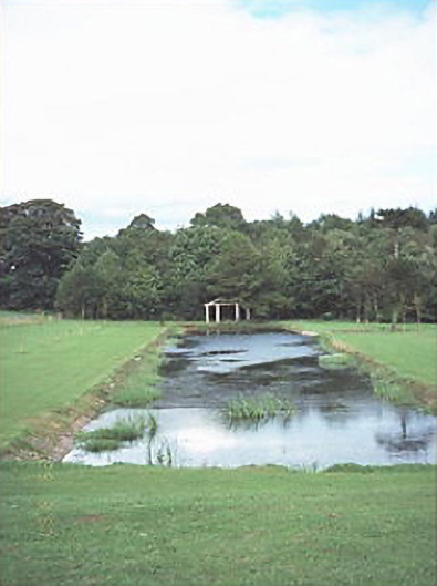 Capard Houseornamental canal/lake · 1491 yd
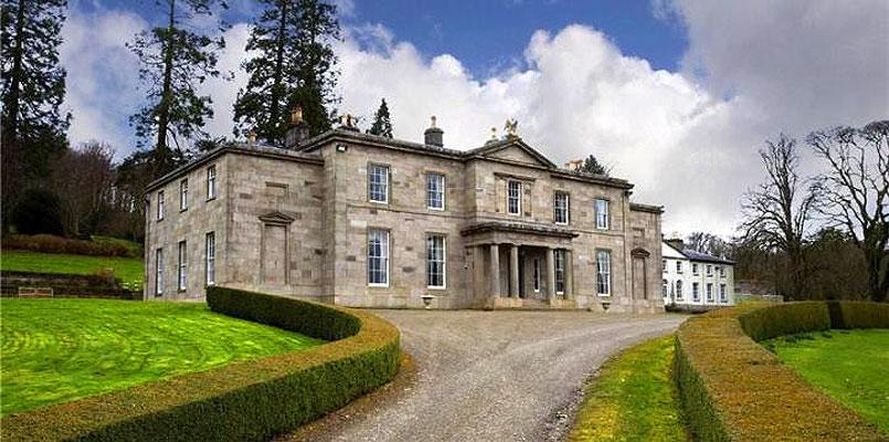 OutlinedHillfort · 1550 yd
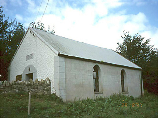 Ballyhuppahane Methodist Churchchurch/chapel · 1632 yd
 Enclosure in ConesEnclosure · 1.3 mi
 CastleCastle, unclassified · 1.9 mi
 Turrets (in Ruins)Bawn · 2.5 mi
 BaunreaghcongMountain / peak · 3.4 mi
 Slieve Bloom MountainsMountain range · 5.0 mi
 Kilmanman church (in Ruins), GraveyardChurch · 5.3 mi
 Sitka SpruceSitka Spruce · 5.8 mi
 Red HillMountain / peak · 6.8 mi
 SycamoreSycamore · 7.1 mi