What is recorded here
Situated on a broad gently-sloping hill on slight S-facing slope in pasture. Circular flat-topped mound ( diam. top 3m; diam. base 18m) of earth and rubble stone defined by a steep scarped edge (ext. H 4.35m) with an external fosse (Wth 8m; D 0.1m). The fosse is visible as enclosing the central mound SW-N.
Compiled by: Patrick F. O'Donovan
Date of upload: 21 April 2011
Bowl barrow, likely dating to the Early Bronze Age. It represents a common form of burial monument in the British Isles, reflecting early ceremonial and funerary practices.
The monument record does not grant public access. Check the route and ask the landowner before entering private land.
- What survives
- Recorded monument
Places near here
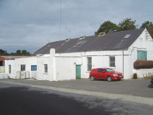 Ballinfull Creamerycreamery · 960 yd
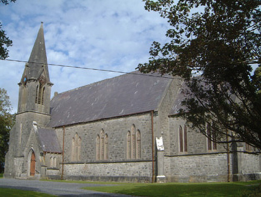 Lissadell Church (Drumcliff)church/chapel · 1593 yd
 Upperglen WoodForest · 1684 yd
 Bawn in DoonforeBawn · 1.0 mi
 Forester's WoodForest · 1.1 mi
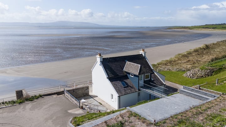 Enclosure in BallyscannelEnclosure · 1.1 mi
 LissadellFairy fort / earthen ringfort · 1.4 mi
 Castle (Site of)Castle, unclassified · 1.9 mi
 de Cuellar Armada MonumentMemorial · 1.9 mi
 Atlantic SheepdogsHeritage attraction · 2.0 mi
 Streedagh BeachVisitor information · 2.5 mi
 Finned PointHeadland · 3.0 mi