What is recorded here
In pasture, on a W-facing slope below the crest of a flat-topped ridge; immediately W of a road and overlooking the Owenmore River to W. An oval flat-topped earthen mound (diam. 22m; H 3m) with sloping sides. The mound has been eroded by cattle giving it a terraced appearance. It is overgrown mainly with small trees.
The above description is derived from the published 'Archaeological Inventory of County Sligo' compiled by Ursula Egan, Elizabeth Byrne, Mary Sleeman with Sheila Ronan and Connie Murphy (Dublin Stationery Office, 2005).
Attached images:
SL030-016----_01.JPG Viewed from E
SL030-016----_02.JPG Viewed from NE
Date of upload: 18 January 2008
Bowl barrow, dating to the Early Bronze Age (c. 2000–1500 BCE). It represents a significant funerary monument type associated with early ceremonial and burial practices in the British Isles.
The monument record does not grant public access. Check the route and ask the landowner before entering private land.
- What survives
- Recorded monument
Places near here
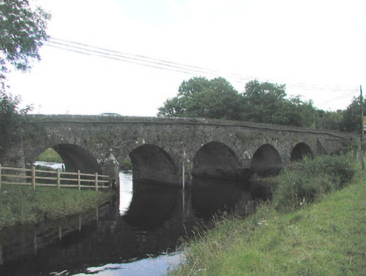 Big Bridgebridge · 87 yd
 Tober BrideHoly well · 1003 yd
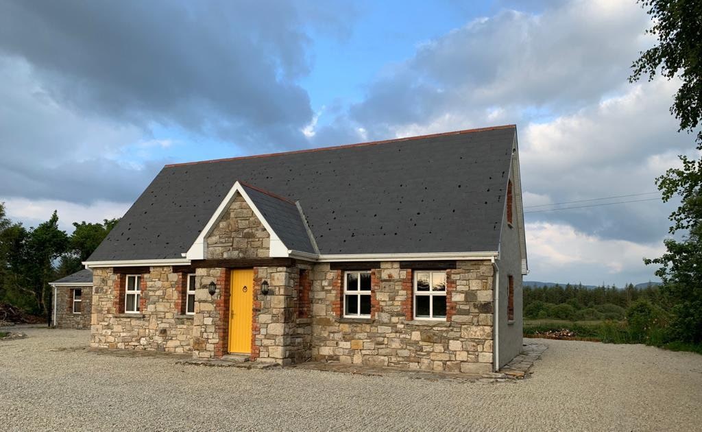 Hut site in BearvaishHut site · 1118 yd
 Emlaghfad Church (in Ruins)Church · 1.1 mi
 Ballymote CastleCastle · 1.9 mi
 Brother WalfridMemorial · 2.0 mi
 Caves of KeshCave · 2.4 mi
 Kesh CorannMountain / peak · 2.9 mi
 RathdoonyCastle, motte · 2.9 mi
 School CaveCave · 3.2 mi
 Tymon's HillMountain / peak · 3.9 mi
 ElderElder · 4.7 mi