What is recorded here
Situated on a summit of a NW-SE drumlin ridge, this rath is described as ‘Barrack Fort’ on the OS 6-inch maps. It is a circular grass-covered area (diam. 41m E-W; 39.5m N-S) defined by an overgrown earthen bank separated by a fosse from an overgrown outer earthen bank that has been removed NE-E. There is an entrance through the inner (Wth of base 2.9m) and outer (Wth of base 2.2m) banks and a causeway (Wth of top 2.6m; H 0.5m) across the fosse at NNE. There is a natural rise inside the inner bank at W with a sunken area (L 10.7m; Wth 4.4m; D 0.5m) across it NE-SW that has a spur (L 3.4m; Wth 3.2m; D 0.5m) extending NW off its SW end, which might be a collapsed Man-made underground passage, although no stones are present.
The above description is derived from the published 'Archaeological Inventory of County Monaghan' (Dublin: Stationery Office, 1986). In certain instances the entries have been revised and updated in the light of recent research.
Revised by: Michael Moore
Date of revision: 22 June 2018
This remains an important historical record, but the official description says the monument is no longer visible or has been destroyed. The monument record does not grant public access. Check the route and ask the landowner before entering private land.
- What survives
- No visible remains or recorded as destroyed
Places near here
 Man-made underground passage in GarradevlinMan-made underground passage · 9 yd
 Portal tomb in CorleanamaddyPortal tomb · 457 yd
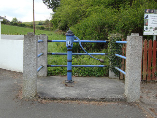 water pumpwater pump · 1.1 mi
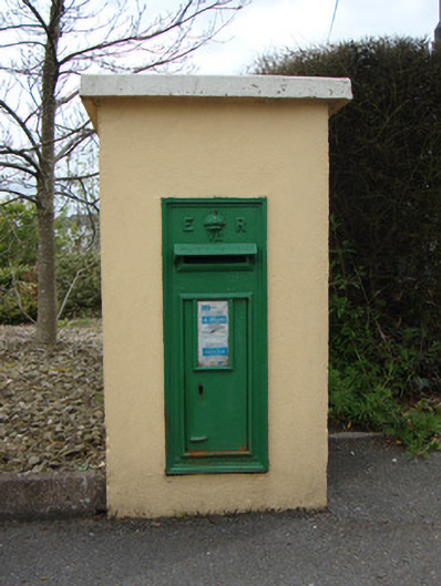 post boxpost box · 1.1 mi
 Fort HillWood · 2.3 mi
 Laragh WoodForest · 3.2 mi
 The CrescentMemorial · 3.4 mi
 John Francis GreenMemorial · 3.6 mi
 Bawn in OnomyBawn · 4.0 mi
 Blaney CastleCastle · 4.0 mi
 Harper's IslandIslet · 4.4 mi
 Garmany's IslandIslet · 4.5 mi