What is recorded here
In pasture, on a low rise. Roughly oval area (dims. c. 45m N-S; c. 32m E-W) defined by eroded scarp (Wth c. 7.5m; H c. 1.5m) worn down by cattle. Low bank WNW-NNE (Wth c. 7.5m; int. H 0.2m) reduced to scarp NE-S-W. Interior very uneven, S-half of interior slightly lower than N-half. Fosse visible WNW-NNE (Wth 8.5m; D 1.15m) and external bank (Wth c. 9.1m; int. H c. 1.15m; ext. H c. 1.3m) WNW-NNE. Breach (Wth c. 6m) to W. Enclosure (TS068-074----) located c. 1km to NW.
Compiled by: Jean Farrelly
Date of upload: 26 August 2011
The monument record does not grant public access. Check the route and ask the landowner before entering private land.
- What survives
- Recorded monument
Places near here
 Derrycloney Church (in ruins)Church · 1057 yd
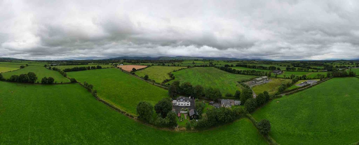 Enclosure in Lagganstown LowerEnclosure · 1143 yd
 Hymenstown Househouse · 1511 yd
 Castle in ruins)Castle, unclassified · 1651 yd
 CastleCastle, unclassified · 1.1 mi
 Site of ChurchChurch · 1.2 mi
 Caucasian zelkovaCaucasian zelkova · 2.3 mi
 Cappa WoodWood · 3.0 mi
 Slieveanard NE TopMountain / peak · 3.7 mi
 SlieveanardMountain / peak · 4.4 mi
 Caher AbbeyHeritage attraction · 4.6 mi
 Siege of Cahir Castlesiege · 4.8 mi