What is recorded here
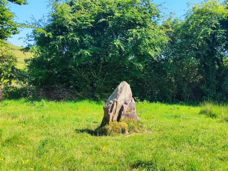
Situated atop high ground on Barnarhu Hill in a mountainous region with extensive views in all directions and a possible stone circle site (TN038-005) to the SSW. A row of four boulders, one of which is prostrate, aligned E-W. All four boulder burials are resting on smaller support-stones in typical boulder-burial arrangement. None of the stones penetrate the surface of the ground. The prostrate E stone is 0.7m x 0.95m x 0.4m and rests on three smaller support-stones. The second stone is 1m x 2.1m x 1.3m and also rests on small support-stones. The third stone is 0.8m x 0.9m x 0.8m and rests on three support-stones, two to the W and one to the E which creates a small chamber underneath the stone. The fourth stone is 1.1m x 1.6m x 1.3m and rests on three smaller stones. The overall length of the row is 10m with the gaps between the stones measuring from E to W 1.8m, 1.6m, 1.4m. (Rynne 1969, 90).
The above description is derived from 'The Archaeological Inventory of County Tipperary. Vol. 1 - North Tipperary' compiled by Jean Farrelly and Caimin O'Brien (Dublin: Stationery Office, 2002). In certain instances the entries have been revised and updated in the light of recent research.
Date of upload/revision: 22 September 2008
Portal dolmen; likely dates to the Neolithic or early Bronze Age. Its location on high ground and association with a possible stone circle suggest ritual or ceremonial significance.
The monument record does not grant public access. Check the route and ask the landowner before entering private land.
- What survives
- Recorded monument
Places near here
 Catholic Church of Our Lady of Visitationchurch/chapel · 788 yd
 Rear National Schoolschool · 815 yd
 Dermot & Granias Bed (Site of)Megalithic structure · 1.1 mi
 Cullaun 1523 ODBarrow, ring-barrow · 1.9 mi
 Slieve Felim East TopMountain / peak · 2.3 mi
 MauherslieveMountain / peak · 2.5 mi
 Slieve Felim WayWalking route · 4.2 mi
 Ballyhourigan WoodsForest · 4.6 mi
 Tower (in Ruins)Bawn · 5.0 mi
 Castle WellerCastle · 5.0 mi
 Sliev Felim WayVisitor information · 7.2 mi
 Graveyard in AbingtonGraveyard · 8.6 mi