What is recorded here
Depicted as a small subrectangular field (dims. c. 25m E-W; c. 15m N-S) with a rectangular building on its S perimeter the 1840 ed. of the OS 6-inch map and as a larger subrectangular field (dims. c. 30m N-S; c. 20m E-W) on the 1927 ed. Located in pasture on a S-facing slope, nothing is visible at ground level. Archaeological testing (02E0904) c. 100m to the ENE failed to produce any related material, (Noonan 2004).
Noonan, D. (2004) Scrahan. Lacken. No archaeological significance. in I. Bennett (ed.) Excavations 2002. summary account of excavations in Ireland, 493, No. 1800. Wordwell. Bray.
The above description is derived from the published 'Archaeological Inventory of County Waterford' (Dublin: Stationery Office, 1999). In certain instances the entries have been revised and updated in the light of recent research.
Revised by: Michael Moore
Date of upload: 18 March 2011
The monument record does not grant public access. Check the route and ask the landowner before entering private land.
- What survives
- Recorded monument
Places near here
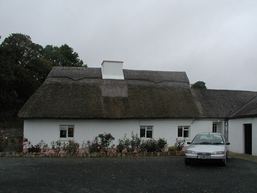 farm housefarm house · 1243 yd
 Glenshelane WoodsWood · 1253 yd
 Coillte infoboardVisitor information · 1351 yd
 Beallicky BridgeOfficially recorded historic building · 1428 yd
 Embanked enclosureConcentric enclosure · 1573 yd
 Glenshelane Red WalkWalking route · 1626 yd
 TombBurial ground · 1.4 mi
 Sweet ChestnutSweet Chestnut · 1.4 mi
 Cappoquin Ho.Castle, unclassified · 1.5 mi
 WaterfallViewpoint · 1.6 mi
 Crow HillMountain / peak · 2.4 mi