
What is recorded here
Banvie Burn Walk is a walking route in Perth and Kinross, Scotland.
Places near here
Photo credits
- Maker not stated on source page, en.wikipedia.org
- ronnie leask, Wikimedia Commons · CC BY-SA 2.0
- Gordon Hatton, Wikimedia Commons · CC BY-SA 2.0
- Maker not stated on source page, www.pac.ru
- Kenneth Allen, Wikimedia Commons · CC BY-SA 2.0
- Mike Pennington, Wikimedia Commons · CC BY-SA 2.0
- PAUL FARMER, Wikimedia Commons · CC BY-SA 2.0
- Richard Webb, Wikimedia Commons · CC BY-SA 2.0
 Blair Castle PoliciesMilestone (19th Century) · 117 ydBlair Castle, Lady Jean's WellWell · 207 yd
 The WhimFolly · 240 yd
 Banvie Burn BridgeBridge (18th Century) · 252 yd
 Blair Castle, Diana's Grove, Statue of DianaStatue · 942 yd
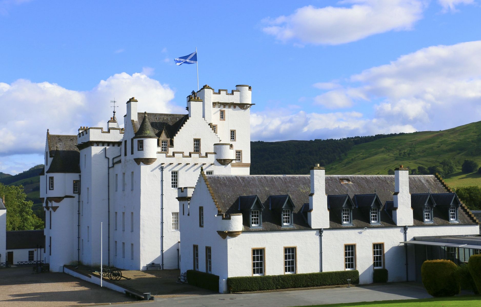 Blair Castle Policies, Bridge Over DriveFootbridge · 958 yd
 St Bride's KirkVisitor information · 1040 yd
 Banvie BurnFootbridge (18th Century) · 1079 yd
 Old Blair, St Bride's KirkCup Marked Stone (neolithic) - (bronze Age) · 1079 yd
 Blair Castle, Garden and TerraceGarden, Statue(s) · 1136 yd
 Blair Castle, Walled GardenGate (20th Century), Glasshouse(s) (19th Century) - (20th Century), Statue(s) (18th Century), Walled Garden (18th Century) · 1402 yd
 Craig UrrardCliff · 1559 yd
More walking routes in Perth and Kinross · All of Perth and Kinross

What do you know about this place?Tap to add a comment or ask a question