What is recorded here
Bankmore Hill Folly Tower stands in Tullyboard, County Down, a misplaced sentry from the eighteenth century. It is a watch tower built to be seen rather than to see, catching light on the hill and returning it unchanged. The stones do not warn against invasion or mark a boundary. They invite attention, then refuse explanation.
The official Northern Ireland record identifies this as Bankmore Hill Folly Tower/ Watch Tower. Recorded period: C18TH. The official map point was placed at the centre of the recorded archaeological site from the source map reference.
The monument record does not grant public access. Check the route and ask the landowner before entering private land.
- What survives
- Recorded monument
Places near here
 Sandy IslandIslet · 1072 yd
 Swan IslandIslet · 1310 yd
 STONE QUAY in Strangford LowerSTONE QUAY · 1393 yd
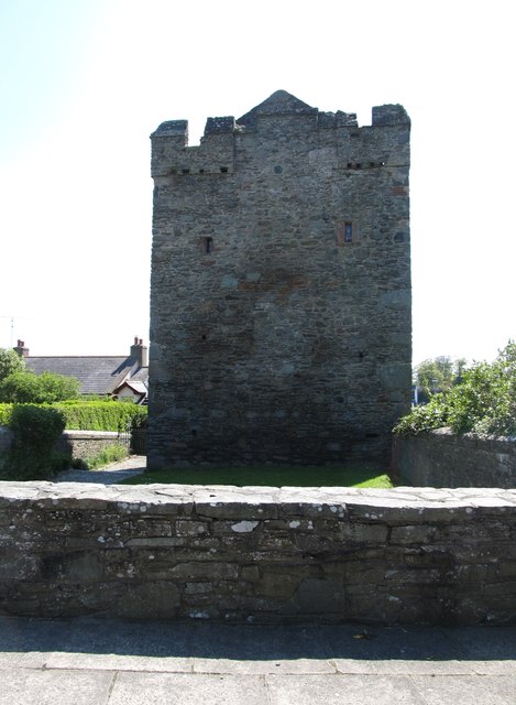 Strangford CastleCastle · 1425 yd
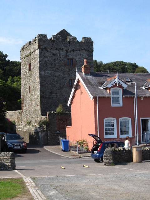 TOWER-HOUSE: STRANGFORD CASTLE in Strangford LowerTOWER-HOUSE: STRANGFORD CASTLE · 1426 yd
 Strangford Presbyterian ChurchChurch · 1446 yd
 MEDIEVAL CHURCH & GRAVEYARD: BALLYTRUSTAN; THRUSTAYNISTONE in BallytrustanMEDIEVAL CHURCH & GRAVEYARD: BALLYTRUSTAN; THRUSTAYNISTONE · 1469 yd
 WINDMILL STUMP: PORTAFERRY WINDMILL (c.f. IHR 3264 for details) in TullyboardWINDMILL STUMP: PORTAFERRY WINDMILL (c.f. IHR 3264 for details) · 1518 yd
 Portaferry Presbyterian ChurchChurch · 1.1 mi
 Cranes' CornerHeadland · 1.1 mi
 Strangford Holiday Park Picnic AreaPicnic place · 1.6 mi
 Audley's CastleHeritage attraction · 1.6 mi