What is recorded here
Map note: Bandry Wood appears on the map as a wood near Aldochlay, Argyll and Bute, Scotland. The map knows where the place is, even if the scenery is staying quiet.
From OpenStreetMap (© OpenStreetMap contributors) w765215491
Places near here
Photo credits
- Maker not stated on source page, www.alamy.com
- edward mcmaihin, Wikimedia Commons · CC BY-SA 2.0
- Raibeart MacAoidh, Wikimedia Commons · CC BY-SA 2.0
- Maker not stated on source page, www.tripadvisor.co.uk
- George Rankin, Wikimedia Commons · CC BY-SA 2.0
- Colin Kinnear, Wikimedia Commons · CC BY-SA 2.0
- Steve Daniels, Wikimedia Commons · CC BY-SA 2.0
- N Chadwick, Wikimedia Commons · CC BY-SA 2.0
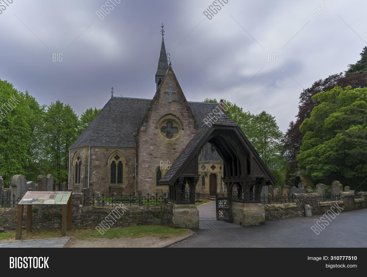
- Maker not stated on source page, www.bigstockphoto.com
- David Dixon, Wikimedia Commons · CC BY-SA 2.0
- Chris Upson, Wikimedia Commons · CC BY-SA 2.0
 Luss, St. Mackessog's CairnFont (medieval), Marker Cairn (early Medieval), Effigy (13th Century) - (14th Century) · 553 yd
 Ross ArdenFarmhouse (19th Century) · 941 yd
 Luss, Low Aldochlay, CottagesCottage(s) (19th Century) · 1050 yd
 Rossdhu CastleTower House (16th Century) · 1172 yd
Explorer Tom Rossdhu Castle in Argyll and Bute is a 16th-century tower house standing proud but silent. The map is accurate to the…
Castle of RossdhuArchaeological place · 1232 yd InchgalbraithIslet · 1490 yd
 InchtavannachIslet · 1538 yd
 Loch Lomond, Inchtavannach, Tom Nan ClagFindspot, Bell (bronze) · 1.0 mi
 ArnburnNo Class (event) (21st Century) · 1.0 mi
 Luss, Church Road, Old Telephone ExchangeNo Class (event) · 1.5 mi
 War MemorialMemorial · 1.6 mi
 Beinn RuisgMountain / peak · 2.0 mi
More woods, forests and old trees in Argyll and Bute · All of Argyll and Bute

What do you know about this place?Tap to add a comment or ask a question