
What is recorded here
Situated at the SW base of a low hill. This is depicted as an oval wood (dims c. 95m NNE-SSW; c. 45m WNW-ESE) on the 1836 edition of the OS 6-inch map and as an oval enclosure on the 1912 edition. It is described as ‘Baltrasna Fort’ on both. This is an oval grass-covered area of rock outcrop (dims 58m NE-SW; 35m NW-SE) defined by a scarp (at W: Wth 1m; H 1.15m) at the N end of a larger oval area (dims 86m NE-SW; 41m NW-SE) defined by a scarp (at W: H 1.7m) and planted in deciduous trees. It could be entirely natural but inside the inner platform at S are the foundations of a house (int. dims 3.6m E-W; 3.3m N-S) defined by low earthen banks at N and S and a wall footing at W. Thee is no evidence of a Man-made underground passage as reported by Beryl Moore to the National Museum of Ireland (Rynne and Prendergast 1962, 43).
The above description is derived from the published 'Archaeological Inventory of County Meath' (Dublin: Stationery Office, 1987). In certain instances the entries have been revised and updated in the light of recent research.
Compiled by: Michael Moore
Date of revision: 9 April 2019
The monument record does not grant public access. Check the route and ask the landowner before entering private land.
- What survives
- Recorded monument
Places near here
 Baltrasna FortArchaeological place · 11 yd
 IndicatedEnclosure · 174 yd
 Limekiln WoodWood · 722 yd
 Grandgate WoodWood · 739 yd
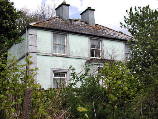 Riverviewhouse · 1367 yd
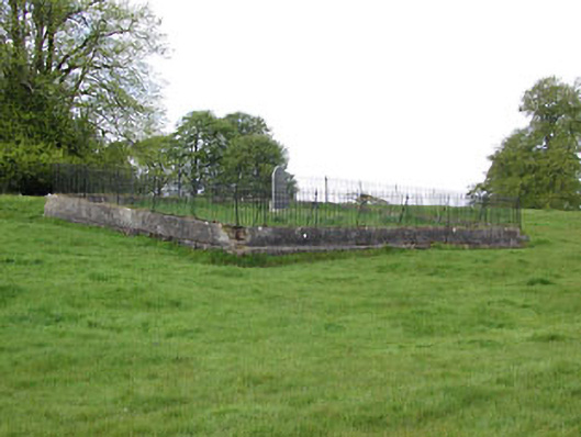 graveyard/cemeterygraveyard/cemetery · 1388 yd
 Moynalty Steam Threshing MuseumMuseum · 1448 yd
 Castle (in Ruins)Castle, unclassified · 1.7 mi
 MountainpoleMountain / peak · 1.8 mi
 MaperathMountain / peak · 1.9 mi
 MoatCastle, motte and bailey · 2.2 mi
 John Mac MahonMemorial · 2.3 mi
Other information
Photo: Credit not shown in the picture search · Rights wording not checked; contact us if this picture should be removed