What is recorded here
Mid 19th century road bridge (Wth 7.45m; long axis E-W), over Awbeg River. Indicated on 1842 OS 6-inch map with approaching road under construction. Random-rubble limestone construction. Three wide segmental arches; dressed limestone voussoirs; low rounded cutwaters. D-shaped limestone coping atop parapet, piered abutments at either ends. Recently repaired.
The above description is derived from the published 'Archaeological Inventory of County Cork. Volume 4: North Cork' (Dublin: Stationery Office, 2000). In certain instances the entries have been revised and updated in the light of recent research.
Date of upload/revision: 14 January 2009
The monument record does not grant public access. Check the route and ask the landowner before entering private land.
- What survives
- Recorded monument
Places near here
 Ballywalter Bridgebridge · 3 yd
 Old Grave YdBurial ground · 207 yd
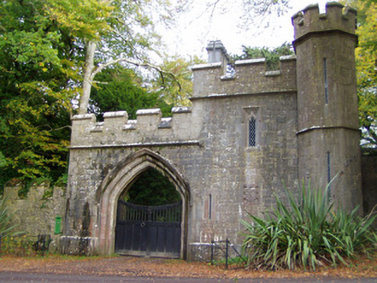 Anne's Grovegate lodge · 391 yd
 BarrowBarrow, mound barrow · 451 yd
 Anne's Grove GardensHeritage attraction · 773 yd
 IndicatedCastle, tower house · 1142 yd
 Shanballymore Castle (Site of)Castle, unclassified · 1431 yd
 Horse Field WoodForest · 3.1 mi
 North Meadow WoodForest · 3.2 mi
 Flat cemetery in Ballyenahan NorthFlat cemetery · 3.5 mi
 Blackwater (Avondhu) WayWalking route · 4.5 mi
 Graveyard in BoherashGraveyard · 4.9 mi