DDiscover AloneMapAbout

Ballyragget

Historic town
Computer-made picture that does not show BallyraggetNot a photo of this monument
Computer-made picture. It does not show this monument. · Report the wrong picture

What is recorded here

On the E bank of the River Nore, at a shallow fording point. Carrigan (1905, vol. 2, 86-7) argues that Ballyragget was known as Tullabarry before it became associated with Richard le Ragged in the early 13th century. The Register of the Abbey of St Thomas records that it was granted ‘the churches, chapels and all the…

Read the whole record
On the E bank of the River Nore, at a shallow fording point. Carrigan (1905, vol. 2, 86-7) argues that Ballyragget was known as Tullabarry before it became associated with Richard le Ragged in the early 13th century. The Register of the Abbey of St Thomas records that it was granted ‘the churches, chapels and all the tithes of Silolethe, in which the castle of Tulah Bari is situated’ in c. 1200, the grant being confirmed in 1202 (ibid. 87). Le Ragged’s presence can be gleamed from a controversy which arose in 1220 between the Canons of St Thomas’s Abbey and a priest, regarding the tithes of Richard le Ragged’s lands, which belonged to the church of Tulachbarri (ibid. 87-8). In 1408, ‘Stephen Pembrok gives and grants to Robert Schorthals, lord of Balylorcan, all messuages, lands, rents, lordships and services of Awnadhynwor (?), Balyrathyn [Ballyragget] and Garranynanryley’ (Curtis 1934, vol. 2, 285-6 (397)). In 1542, the Ormond Deeds record a bond, ‘by Stephen Pembroke, son and heir of Nicholas Pembroke, to James Butler, Earl of Ormond, in the sum of 500 L., to make full legal assurance to the Earl for the castle and town of Bellaragged, otherwise of old time called Balyrathin, in county Kilkenny’ dated January of that year (Curtis 1937, vol. 4, 215 (268)). There follow three other deeds in the same year, on the 1st of February, ‘James Purcell of Garran and Robert Oge Shortall of Hygginstown grant to William Seysse of Kylcowle all their castles, lordships, manors and other property in Ballyrathyn alias Bellaraggid..’, on the 6th of February, ‘William Seysse grants to Leonard Blaunchvile the above-said castles, manors, etc., with remainder to John Pembroke and his heirs’, and on the 24th March, ‘Bond of Margaret FitzGerald, widow, countess of Ormond, to James Butler, Earl of Ormond, in the sum of 1000 L., to abide by the award …concerning the possession of Bellaragged….’ (ibid., 216 (268)). In 1580 Richard Butler, the youngest son of Piers Rua, the nineth Earl of Ormond, was raised to the peerage and given the title of Viscount Mountgarret (Nolan 1979, 45). Richard had inherited Ballyragget which became the principal seat of this junior branch of the Ormonds (ibid.). A commission formed to establish the extent of the Earl of Ormond’s estates in 1589-94 refers to, ‘two hundredth burges acres of land or thereabouts of the lands of Balliraghtane’ (Curtis 1970, vol. 6, 121). Lewis (1837, vol. 1, 162) describes how, in 1600, ‘the town was garrisoned by the forces of Sir George Carew, Lord-President of Munster, when the sons of Lord Mountgarret, to whom it then belonged, were in rebellion against the crown, and had engaged with O’More to arrest the Earl of Ormonde’. The garrison consisted of, ‘thirty foot [soldiers] left in a ward in Mountgarret’s house, called Balliragget’ (O’Grady 1896, vol. 1, 26). In 1619, James I constituted this place a manor, and granted to its lord, Richard, third Viscount Mountgarret, the privilege of holding two fairs’ (Lewis 1837, vol. 1, 162). The Down Survey (165-6) barony map of Fassadining shows a small cluster of buildings where Ballyragget is located, representing the settlement, with an area planted with trees adjacent to the E. Cullen (1990, 277) suggests that the town was re-shaped c. 1650, centring around a triangular green. Ballyragget Castle is a 15th tower house (KK010-001001-) located within a substantial bawn (KK010-001002-) on the S side of the town.

From the National Monuments Service (Archaeological Survey of Ireland) record KK010-001

The monument record does not grant public access. Check the route and ask the landowner before entering private land.

What do you know about this place?Tap to add a comment or ask a question

What you write will be public.

Places near here

Photo credits
  • National Inventory of Architectural Heritage
  • Mike Searle, Wikimedia Commons · CC BY-SA 2.0
  • Darrin Antrobus, Geograph · CC BY-SA 2.0
  • A.-K. D., Wikimedia Commons
  • A.-K. D., Wikimedia Commons · CC BY-SA 4.0
  • Andy Ryan / 1803 Productions, credited by Kilkenny GAA, kilkennygaa.ie
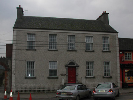
Step HouseHouse · 21 yd

Explorer Tom Step House in Ballyragget is telling its younger self to stop renovating so aggressively and just let the stone masonry…
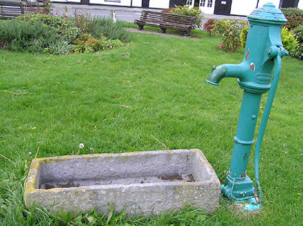
water pump23 yd

Explorer Tom Water pump in Ballyragget complains constantly to the council about how nobody pumps it anymore, just staring at it…

Ballyragget Cas.Castle, tower house · 227 yd

Explorer Tom Ballyragget Castle thinks the road leading to it is too slow for its taste and keeps sighing audibly. Lady Margaret…

IndicatedBawn · 232 yd

Explorer Tom Bawn in Ballyragget is basically a giant rock yard where the rabbits hold council meetings about which fence to chew…

St Patrick’s GAA Club, BallyraggetGAA ground · 879 yd

Explorer Tom St Patrick’s in Ballyragget has a proper hurling pitch and a ball wall that would make my own first touch very nervous.…

Donaghmore WellSpring · 1596 yd

Explorer Tom Donaghmore Well is famous locally because a giant once tried to drink it all in one go and ended up with a massive…

Graveyard in SraleaghGraveyard · 1.2 mi

Explorer Tom Graveyard in Sraleagh would survive a zombie attack just fine because there’s only one inscribed stone left, so they’d…

Holy well in BallyconraHoly well · 1.2 mi

Explorer Tom Holy well in Ballyconra is like that aunt at weddings who never shows up but sends cards. It vanished into the ground…

Grave YardGraveyard · 1.2 mi

Explorer Tom Graveyard in Ballyconra would tell the car park that replaced it to shut up and stop charging. The earthworks around…
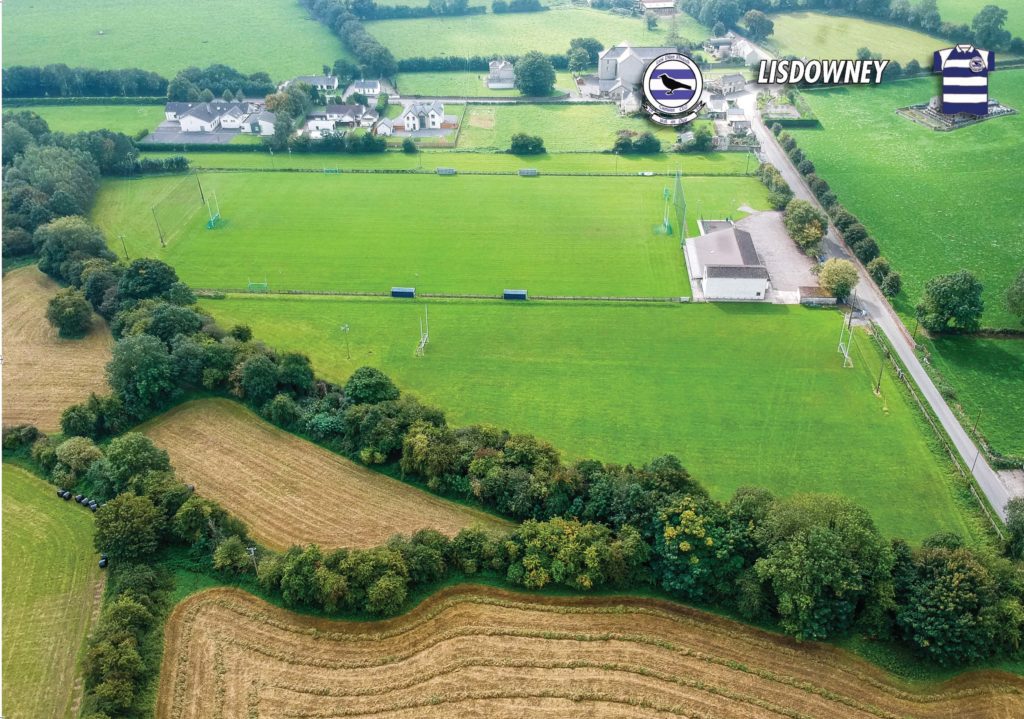
Lisdowney GAA pitchGAA ground · 2.3 miIonad LachtainMuseum · 4.7 mi

Explorer Tom Ionad Lachtain in Freshford has a clever way of making a small village feel very old and very alive at once. Step into…

Emma Jane Browne-ClaytonMemorial · 4.7 mi

Explorer Tom Emma Jane Browne-Clayton is tucked away in a community hall in Freshford, County Kilkenny, where she’s probably…

More archaeology and monuments in County Kilkenny · All of County Kilkenny

Add to this placeAdd a picture Add a detailed tip Add a story

Explore the map1,095,414 places to discover

Next place · or swipeStep House