What is recorded here
A bridge is shown on a Petty map of Ballymoe half-barony, dated 1683, and on all additions of the OS 6-inch map. The present bridge on a NW-SE section of the River Suck and the border with Co. Roscommon was built in 1978 on the site of the older one, of which there is no trace.
Compiled by: Michael Moore
Date of upload: 24 August 2010
This remains an important historical record, but the official description says the monument is no longer visible or has been destroyed. The monument record does not grant public access. Check the route and ask the landowner before entering private land.
- What survives
- No visible remains or recorded as destroyed
Places near here
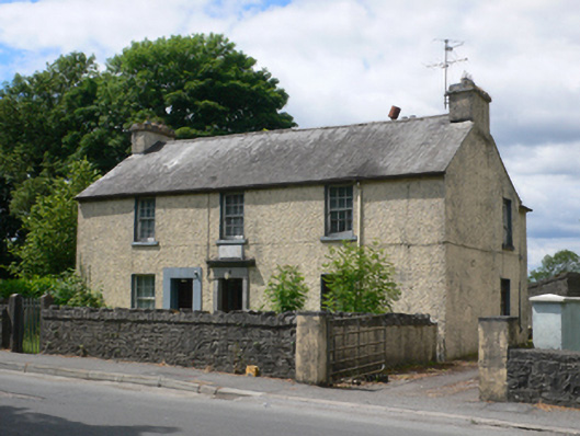 Ballymore Garda Síochána Stationhouse · 141 yd
 Saint John's Church (Drumatemple)church/chapel · 209 yd
 IndicatedFairy fort / earthen ringfort · 288 yd
 Enclosure in Cloonee (ballymoe By.)Enclosure · 646 yd
 Site of Ballyglass CastleCastle, unclassified · 2.4 mi
 CastleCastle, Anglo-Norman masonry castle · 2.4 mi
 Site of Killomaine Grave YardArchaeological place · 3.0 mi
 Rook HillMountain / peak · 4.1 mi
 Workhouse MemorialMemorial · 4.7 mi
 Silver IslandIslet · 4.7 mi
 HawthornHawthorn · 5.0 mi
 Coolougher WoodForest · 5.6 mi