
What is recorded here
On an E-facing slope in gently rolling grassland. A poorly preserved subcircular enclosure (N-S 29m) defined by low scarp (H 1.15m) from SSE through W to N; no visible surface trace survives elsewhere. Traces of a possible bank are evident at N.
The above description is derived from the published 'Archaeological Inventory of County Galway Vol. II - North Galway'. Compiled by Olive Alcock, Kathy de hÓra and Paul Gosling (Dublin: Stationery Office, 1999).
Date of upload: 05 August 2010
The monument record does not grant public access. Check the route and ask the landowner before entering private land.
- What survives
- Recorded monument
Places near here
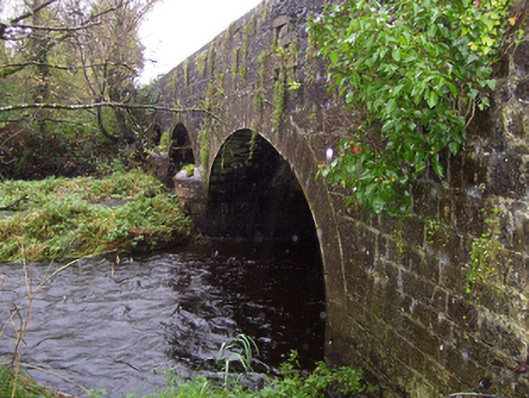 Castlereagh Bridgebridge · 294 yd
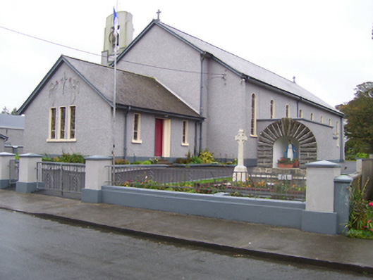 Saint Croan's Catholic Churchchurch/chapel · 497 yd
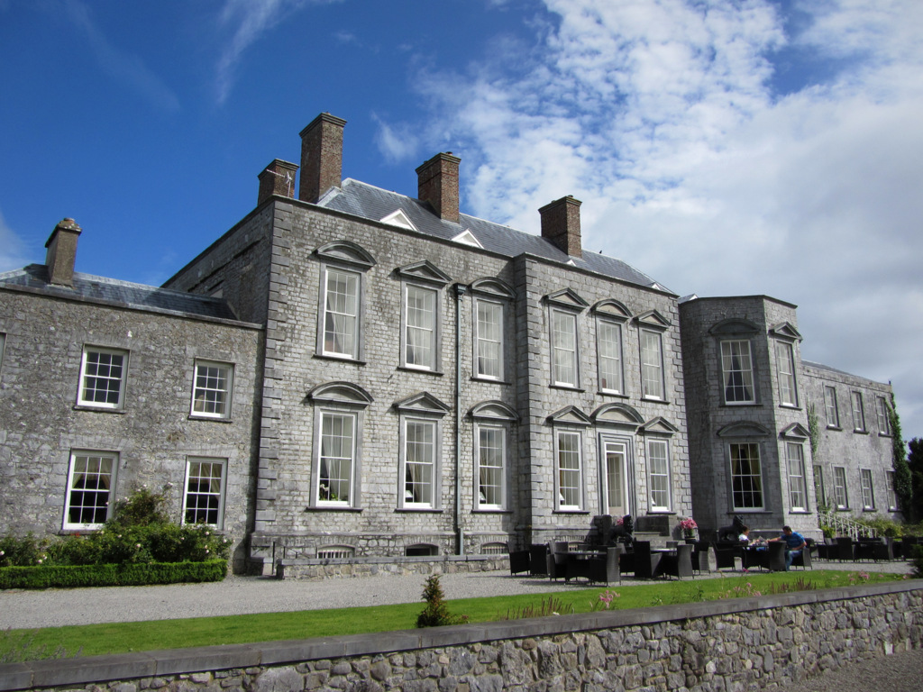 IndicatedFairy fort / earthen ringfort · 782 yd
 Enclosure in BallaghymurryEnclosure · 1012 yd
 Site of Ballyglass CastleCastle, unclassified · 2.1 mi
 CastleCastle, Anglo-Norman masonry castle · 2.7 mi
 Site of Killomaine Grave YardArchaeological place · 3.0 mi
 Rook HillMountain / peak · 3.9 mi
 Workhouse MemorialMemorial · 4.6 mi
 Silver IslandIslet · 4.7 mi
 Coolougher WoodForest · 5.3 mi
 HawthornHawthorn · 5.4 mi
Other information
Photo: Credit not shown in the picture search · Rights wording not checked; contact us if this picture should be removed